What is recorded here
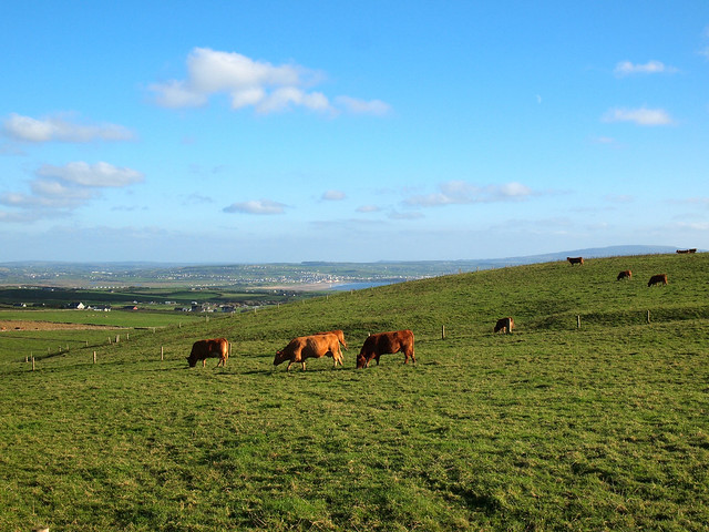
Rossacon holds a fifty-metre earthen arc on a gentle south-facing slope, locally called a fort although it remains a low, spread-out bank rather than a defiant wall. The interior rises slightly above the surrounding pasture, suggesting people once shaped the land for shelter, ritual or boundary before forgetting the exact purpose. That much is clear from the visible earth. The rest belongs to imagination, since no human body, named event or certain date survives in the description.
In pasture, on gentle S-facing slope. Arc (C c. 50m) NW->NE of low, spread-out, earthen bank (int. H 0.3m; ext. H 0.3m). Interior slightly raised above level of surrounding field. Locally known as a 'fort'.
The above description is derived from the published 'Archaeological Inventory of County Cork. Volume 4: North Cork' (Dublin: Stationery Office, 2000). In certain instances the entries have been revised and updated in the light of recent research.
Date of upload/revision: 14 January 2009
The monument record does not grant public access. Check the route and ask the landowner before entering private land.
- What survives
- Recorded monument
Places near here
 Rossacon HouseCountry house · 208 yd
 KilnKiln, lime · 1294 yd
 Fulacht fia in MeelaherraghFulacht fia · 1.0 mi
 Kilcorcoran Church (Site of)Church · 1.4 mi
 Stanner's Glen, Priory WoodWood · 2.0 mi
 Hanna SheehyMemorial · 2.2 mi
 CastleCastle, unclassified · 2.2 mi
 Castle McAuliffe (Site of)Castle, unclassified · 2.7 mi
 Kanturk CastleHeritage attraction · 3.0 mi
 Burial ground in AssolasBurial ground · 4.8 mi
 European YewEuropean Yew · 5.0 mi
 St Fursey's WellSpring · 5.3 mi