What is recorded here
This record refers to one of two adjacent houses (see also MA015-058001-) shown on the 1656-8 Down Survey Barony map in the area now encompassed by Ross (Gardiner) townland. The exact location of the houses is unknown.
Compiled by: Jane O’Shaughnessy
Date of upload: 14 December 2018
The monument record does not grant public access. Check the route and ask the landowner before entering private land.
- What survives
- Recorded monument
Places near here
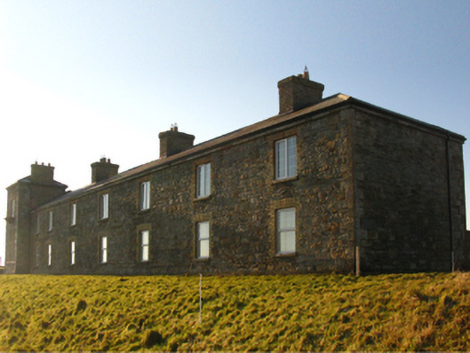 Ross Coastguard Stationcoastguard station · 491 yd
 Site of ChurchChurch · 994 yd
 Rinnaun PointHeadland · 1741 yd
 RathmoreFairy fort / earthen ringfort · 1.1 mi
 CastlenageehaCastle, unclassified · 1.4 mi
 farm housefarm house · 1.5 mi
 Green IslandIslet · 1.6 mi
 TrabaunBeach / strand · 1.6 mi
 Battle of Killalabattle · 2.0 mi
 CastleCastle, unclassified · 2.0 mi
 Bartragh IslandIsland · 2.2 mi
 Battlefields of MoyneBattlefield · 2.3 mi