What is recorded here
Indicated is a fairy fort on a Mayo rise above Killala Bay, its oval bank reduced to a scarp and stony lip that still marks the edge of forgotten life. Cattle graze around it now, unaware that the ground once held doors, kitchens, arguments and laughter. The western gap may have been an entrance, or merely a place where the earth gave way under feet. Either way the fort remains visible in the slope of the land, waiting to be read by someone who walks slowly enough.
In average pasture, located on a rise overlooking an inlet on the SW side of Killala Bay. The ground falls away gently to SE for 50m to the shoreline. There are good views over the surrounding gently undulating coastal pasture and over Killala Bay.
Slightly raised, oval area (30.6m NNW–SSE; 26.5m ENE–WSW) enclosed by a bank, largely reduced to a scarp. At S–W the bank appears as a broad, low earthen rise (Wth c. 4-5m; int. H 0.3m; ext. H 1.4m at W) with stones protruding randomly from the top and external slope. Elsewhere the bank survives as a scarp, retaining a slight internal lip in parts.
The interior ground level appears higher in the NW quadrant. A later field boundary on a NE–SW axis, shown bisecting the centre of the interior on the 1922 OS 6-inch map, has been removed. Remnants of another field boundary extend on a NNW–SSE axis across the W edge of the interior. Intersecting with the latter, at its NW end, is a low stony sod-covered rise (L 8-10m NW–SE; 1.4m NE−SW; H 0.2m) which extends on a roughly NW−SE axis, through the centre of the interior. There is a break (Wth 4m) in the bank at W, from which a shallow depression extends for c. 6m to E into the interior. A field fence, on a NE–SW axis, clips the external slope of the bank at SE–S, and the remnants of another field fence, on a roughly N–S axis, abut the external face of the bank at S–W.
Compiled by: Jane O’Shaughnessy
Date of upload: 6 December 2018
This remains an important historical record, but the official description says the monument is no longer visible or has been destroyed. The monument record does not grant public access. Check the route and ask the landowner before entering private land.
- What survives
- No visible remains or recorded as destroyed
Places near here
 RathmoreFairy fort / earthen ringfort · 594 yd
 Rinnaun PointHeadland · 731 yd
 Site of ChurchChurch · 836 yd
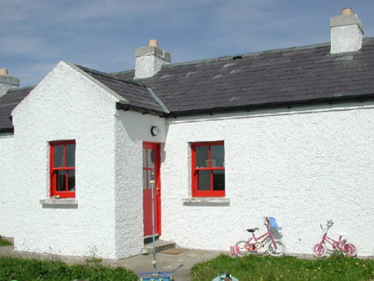 Ross Coastguard Stationcoastguard station · 973 yd
 Green IslandIslet · 1586 yd
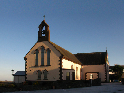 Saint Patrick's Catholic Churchchurch/chapel · 1.1 mi
 Battle of Killalabattle · 1.2 mi
 CastleCastle, unclassified · 1.2 mi
 Bawn in Meelick (tirawley By.)Bawn · 1.8 mi
 Battlefields of MoyneBattlefield · 1.9 mi
 TrabaunBeach / strand · 2.1 mi
 Bartragh IslandIsland · 2.2 mi