
What is recorded here
Indicated is a ruined earthen ringfort in County Mayo, preserved as a shallow oval bank beside Killala Bay. Its name sounds like a pointer rather than a home, as if the land still marks the place instead of remembering it. The reduced bank and forgotten interior suggest that people lived, left, and disappeared while the ridge kept their shape.
In pasture, located in a sheltered dip on the SW side of a low ridge, overlooking a valley of wettish pasture. A raised spur of the ridge blocks views to NW, and a low rise restricts views to NE. The shoreline of Killala Bay is 400m to E.
Raise oval area (29.8m E–W; 20m N–S) defined by the remnants of an earthen bank (Wth 4.6m; int. H 0.1m; ext. H 1.7m at S), reduced at NW–NE to a scarp (H 0.65m at N). The interior is level. Several low parallel linear ridges, on a roughly E–W axis, traversing the interior; these appear to be relict cultivation ridges. The W terminal of the most southerly cultivation ridge expands into a sod-coved stony mound (5.6m E–W; 2.6m N–S; H 0.6m), most likely a field clearance cairn. At NE traces of a levelled field fence, on a NW–SE axis, abut the bank.
Compiled by: Jane O’Shaughnessy
Date of upload: 6 December 2018
The monument record does not grant public access. Check the route and ask the landowner before entering private land.
- What survives
- Recorded monument
Places near here
 RathmoreFairy fort / earthen ringfort · 646 yd
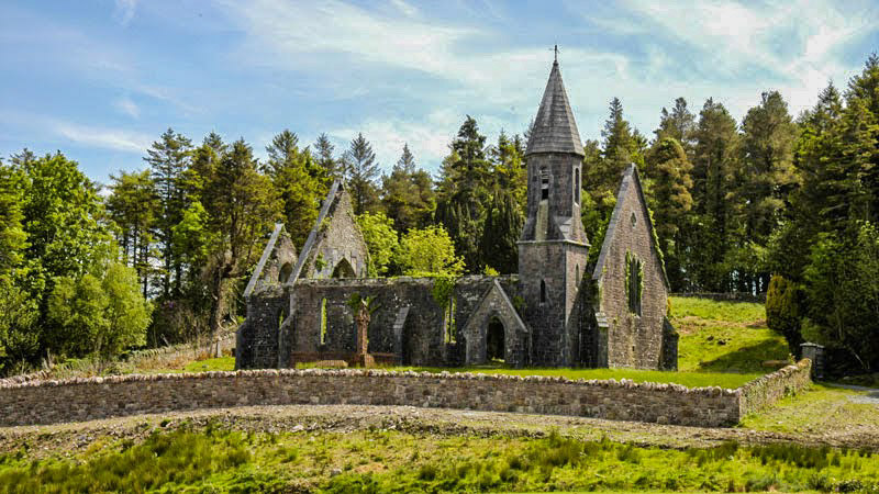 RathwanowenFairy fort / earthen ringfort · 898 yd
 Rinnaun PointHeadland · 1321 yd
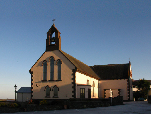 Saint Patrick's Catholic Churchchurch/chapel · 1499 yd
 Green IslandIslet · 1562 yd
 The Old Deaneryrectory/glebe/vicarage/curate's house · 1723 yd
 Battle of Killalabattle · 1747 yd
 CastleCastle, unclassified · 1.0 mi
 Bawn in Meelick (tirawley By.)Bawn · 1.7 mi
 Battlefields of MoyneBattlefield · 2.1 mi
 TrabaunBeach / strand · 2.3 mi
 Bartragh IslandIsland · 2.5 mi
Other information
Photo: Credit not shown in the picture search · Rights wording not checked; contact us if this picture should be removed