
What is recorded here
Roscommon Castle rose from a vanished lake called Lough Nea, its western wall hidden beneath water while a ditch circled the remaining sides. Robert de Ufford began the work in 1269 to break O’Conor power, yet Aedh burned the half-built stones repeatedly until his death in 1274. The lake may have swallowed an older O’Conor crannóg, turning the castle into a deliberate erasure of earlier memory. Four corner towers and a twin-towered gatehouse still mark the place where English royal ambition met Gaelic resistance.
Roscommon Castle is recorded as a castle in County Roscommon. Its open map record supplies this location and any linked names or public references.
Roscommon Castle was built in the 13th century by the de Burgo family, Anglo-Norman lords who played a key role in the colonization of Connacht. It is remembered as a significant medieval stronghold and the seat of the powerful Burke (later de Burgo) dynasty in Ireland.
Places near here
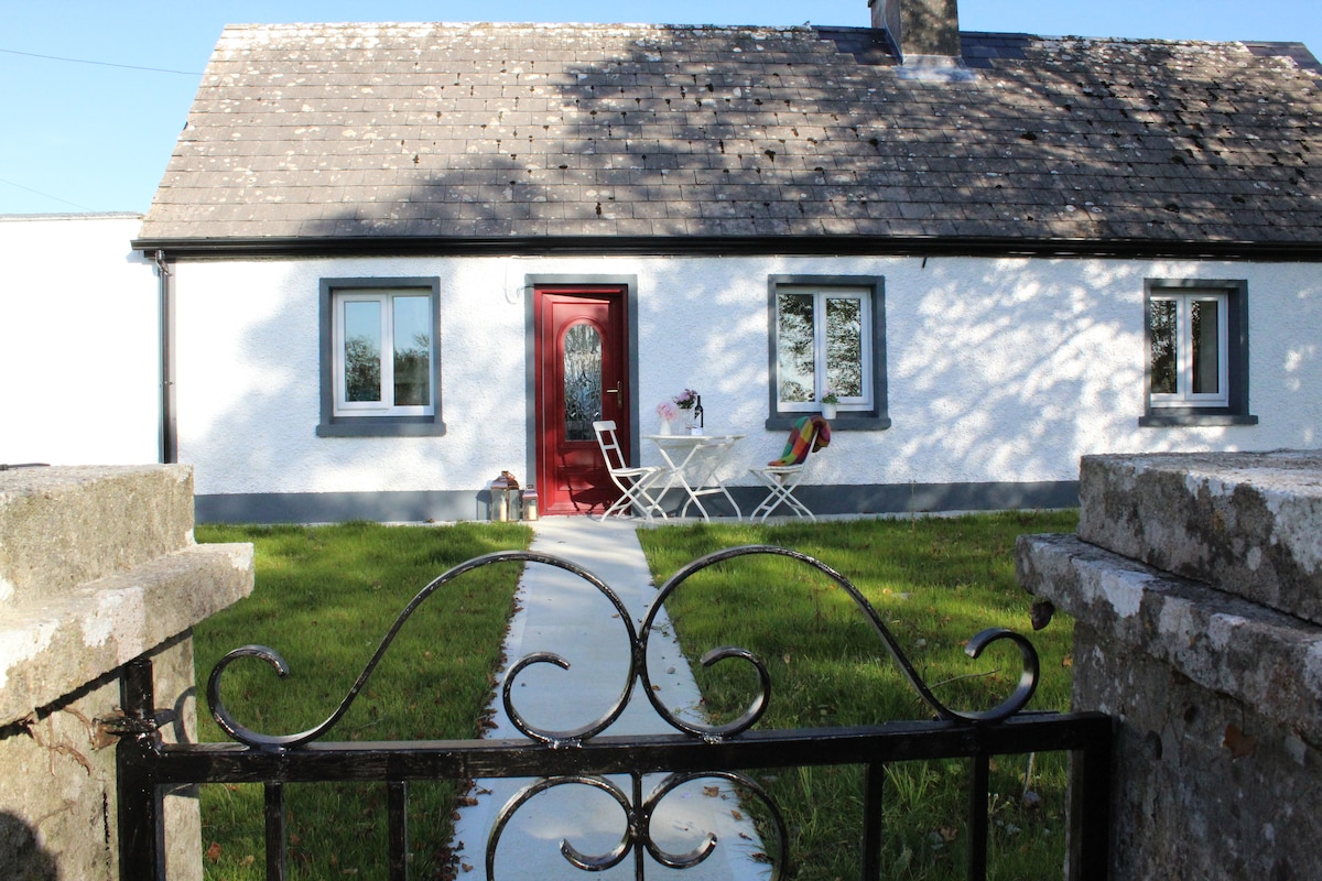 IndicatedHouse, fortified house · 22 yd
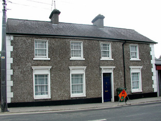 Sunny Side Househouse · 303 yd
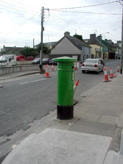 Historic buildingOfficially recorded historic building · 345 yd
 Lord's WellArchaeological place · 394 yd
 Lady's WellArchaeological place · 438 yd
 Big IslandForest · 2.1 mi
 Little IslandForest · 2.1 mi
 CastleCastle, unclassified · 2.3 mi
 Hangman's HillMountain / peak · 5.6 mi
 Sally IslandIslet · 7.0 mi
 Priest's IslandIslet · 8.6 mi
 Mount MaryMountain / peak · 9.3 mi
Other information
Photo: Irishrover1980 · CC BY-SA 4.0