What is recorded here
Fairy fort in Roos, County Longford: a 49.8m earthen ring on a NE-facing pasture slope, its low bank still marking an old boundary though field work has cut through part of it. The wide eastern gap may preserve the true entrance, while the dug interior suggests people kept using, changing or taking from the place long after it stopped being a fort.
On a NE-facing slope in pasture. A raised circular area (diam. 49.8m) enclosed by a low bank of earth and stone (Wth 3.6m; H 0.2-0.9m). There is no trace of a fosse. A wide modern entrance at ENE may mark the location of the original one. From SSW-W-N the circuit and morphology of the bank have been altered where it has been incorporated into a field boundary. Much of the interior has recently been dug up.
Compiled by: Patrick F. O'Donovan
Date of upload: 26 August 2011
This remains an important historical record, but the official description says the monument is no longer visible or has been destroyed. The monument record does not grant public access. Check the route and ask the landowner before entering private land.
- What survives
- No visible remains or recorded as destroyed
Places near here
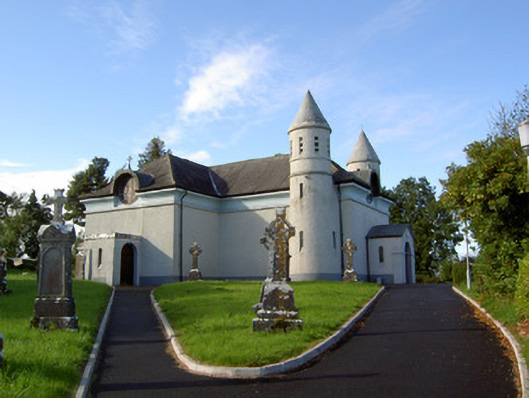 Saint James's Catholic Churchchurch/chapel · 686 yd
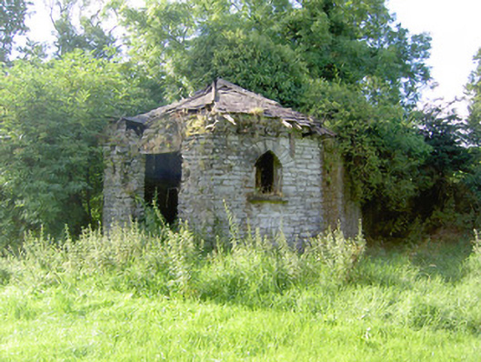 Cloonfin Housegate lodge · 1531 yd
 IndicatedFairy fort / earthen ringfort · 1685 yd
 Clonfin Ambush MemorialMemorial · 1759 yd
 Frys IslandCrannog · 1.4 mi
 Moat & FortCastle, motte and bailey · 1.6 mi
 RuinsCastle, unclassified · 1.8 mi
 Cloonfin WoodForest · 1.8 mi
 Ballinalee Forest WalkForest · 2.4 mi
 Bully's Acregraveyard/cemetery, unknown · 2.7 mi
 Edgeworthstown BypassMemorial · 4.1 mi
 Granard MotteMotte-and-bailey castle remains · 4.6 mi