What is recorded here
Mentioned in local lists and stories, the Roestown standing stone is a tall thin stone still upright beside the town. It may have marked a boundary, a meeting place or a forgotten ritual, but it may also have been a scratching post for passing animals. Either way, it is the kind of stone people touched, watched and remembered because it remained visible when everything around it changed.
The following description is derived from both the published 'Archaeological Inventory of County Louth' (Dublin: Stationery Office, 1986) and the 'Archaeological Survey of County Louth' (Dublin: Stationery Office, 1991). In certain instances the entries have been revised and updated in the light of recent research.
Date of upload/revision: 17 July 2007
An upright stone, possibly a scratching post (max. dims. H 1.3m, 1.3m by 0.2m in section).
The monument record does not grant public access. Check the route and ask the landowner before entering private land.
- What survives
- Recorded monument
Places near here
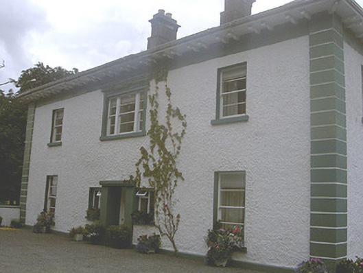 Roestown Househouse · 188 yd
 Garretts FortFairy fort / earthen ringfort · 814 yd
 Garrets FortArchaeological place · 829 yd
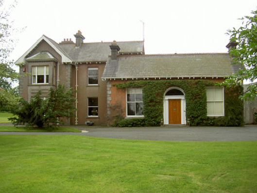 Hoathstown Housefarm house · 1316 yd
 Not idicatatedCastle, unclassified · 1.0 mi
 Graveyard in StickillinGraveyard · 1.4 mi
 Dawsons MoatCastle, motte and bailey · 1.7 mi
 Monterey CypressMonterey Cypress · 2.2 mi
 Graveyard in Richardstown (ardee By., Richardstown Par.)Graveyard · 2.3 mi
 European White ElmEuropean White Elm · 2.3 mi
 Mount OrielMountain / peak · 3.1 mi
 Black HillMountain / peak · 3.9 mi