What is recorded here
Roestown holds a large rath and burial ground beneath introduced soil, but its eastern edge revealed smaller shapes when excavated in 2018-19. A D-shaped slot-trench, two circular or penannular structures and one rectangular feature stood in a north-south line, suggesting a compact domestic or ritual cluster beside the main enclosure. The missing ground between them, cut away by a wide ditch, leaves the arrangement partly imagined: perhaps buildings, perhaps boundaries, perhaps both.
While the large enclosure, rath and burial ground are preserved under introduced soil in a green area all the available external area was excavated (15E0125) under the direction of S. McGlade in 2018-19 (excavations.ie 2019:474). East of the large rath, in the triangular area available for excavation, two circular or penannular structures and one rectangular feature were recorded in a N-S line with a small enclosure just to the NE. The most northerly structure (2) was D-shaped (int. dims c. 4.5m E-W; c. 2.8m N-S), open to the S, and defined by a fairly flat-bottomed slot-trench (Wth c. 0.3m) or drip-gully with two fills at most. There are no postholes or internal features associated with it but it is c. 3m N of Structure 3 with which it might have been conjoined but the ground between them was truncated by a wide ditch. (McGlade 2020, vol. 1, 67-9)
See the attached illustrations from McGlade (2020 vol. 1, P 75, 76)
_1 Location;
_2 plan;
Compiled by: Michael Moore
Date of upload: 3 May 2022
The monument record does not grant public access. Check the route and ask the landowner before entering private land.
- What survives
- Recorded monument
Places near here
 EnclosureEnclosure, large enclosure · 81 yd
 Enclosure in Roestown (ratoath By.)Enclosure · 142 yd
 Dunshaughlin Civic Officesoffice · 628 yd
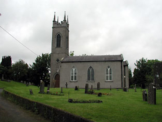 Saint Seachnall's Church (Dunshaughlin)church/chapel · 951 yd
 Killeen CastleCastle, tower house · 2.1 mi
 Laurel WoodsWood · 3.0 mi
 Dunsany CastleCastle, unclassified · 3.1 mi
 Dunsany WoodWood · 3.2 mi
 Lismahon 1798 MemorialMonument · 3.8 mi
 Emerald ParkHeritage attraction · 4.3 mi
 Battle of Tara Hillbattle · 4.8 mi
 Battle of Tara (Ireland)Major battlefield · 4.8 mi