What is recorded here
Burial ground in Rodeen is a burial ground in Rodeen, County Waterford, Ireland. The 1840 edition of the Ordnance Survey six-inch map marked an oval embanked enclosure measuring about 40 metres from northeast to southwest and about 30 metres from northwest to southeast. Power described this as a cill, or burial ground, within the possible ringfort. The account also recorded that it was situated in pasture on a south-facing slope and was not visible at ground level during that observation.
Marked as an oval embanked enclosure (ext. dims. c. 40m NE-SW; c. 30m NW-SE) on the 1840 ed. of the OS 6-inch map and described by Power (1952, 84) as a ‘cill’ or burial ground within the possible ringfort (WA038-001-). Situated in pasture on a S-facing slope, it is not visible at ground level.
Power, Rev. P. (1952) The placenames of the Decies. (second ed.) Cork University Press.
Date of upload: 10th October, 2011
Compiled by: Michael Moore
The monument record does not grant public access. Check the route and ask the landowner before entering private land.
- What survives
- Recorded monument
Places near here
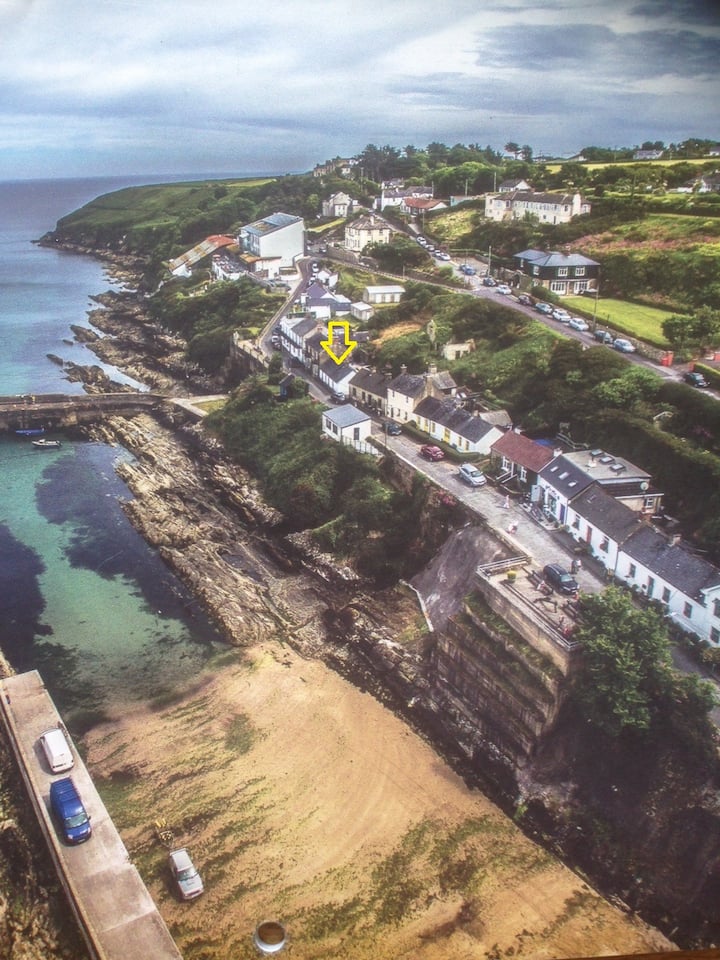 Embanked enclosureFairy fort / ringfort · 1 yd
 EnclosureEnclosure, large enclosure · 827 yd
 Ardmore Open FarmHeritage attraction · 898 yd
 Church (in ruins)Church · 1374 yd
 RoadRoad, road/trackway · 1.4 mi
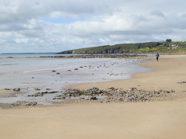 Whiting BayBeach / strand · 1.8 mi
 Site of CastleCastle, unclassified · 1.8 mi
 Kilmaloo LoughWood · 2.2 mi
 Cabin PointHeadland · 2.5 mi
 Ardmore Round TowerMedieval round tower · 2.6 mi
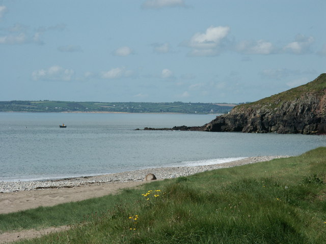 Caliso BayBeach / strand · 2.8 mi
 Ferry PointViewpoint · 3.3 mi