What is recorded here
Rockmarshall holds a circular fort twenty-five metres across, bounded by a stone-and-earth bank still standing one metre high. Its eastern gap remains open, marked by faint stone traces that may be as old as the clay itself. A shallow ditch spirals around part of the ring, suggesting the place was built to be seen, defended, or both. The fort does not need fairy tales to sound strange; it is already a room without walls, waiting for someone to remember why it was made.
The following description is derived from both the published 'Archaeological Inventory of County Louth' (Dublin: Stationery Office, 1986) and the 'Archaeological Survey of County Louth' (Dublin: Stationery Office, 1991). In certain instances the entries have been revised and updated in the light of recent research.
Date of upload/revision: 17 July 2007
Circular area (int. diam. 25.5m) enclosed by earth and stone bank (Wth 3.6m, H 0.8m internally, 1m externally). Possible traces of external fosse (Wth 4m, D 0.35m) from N-E-S-SSW. Entrance gap (Wth 2.6m) at E with traces of stone facing may be ancient.
The monument record does not grant public access. Check the route and ask the landowner before entering private land.
- What survives
- Recorded monument
Places near here
 Enclosure in Mullaghattin (dundalk Lwr By; Ballymascanlan Par.)Enclosure · 422 yd
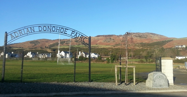 Enclosure in SlievenagloghEnclosure · 1208 yd
 Annaloughan MountainMountain / peak · 1258 yd
 The Round MountainMountain / peak · 1472 yd
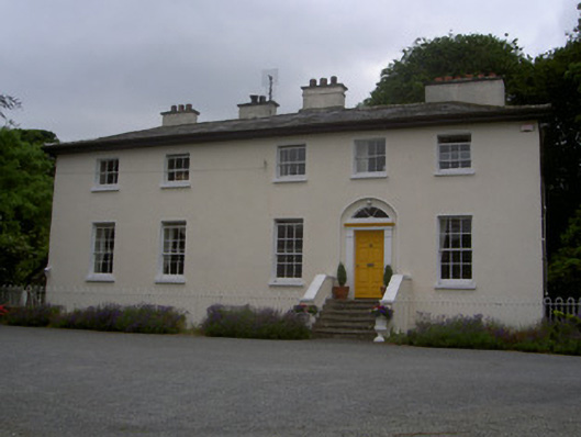 The Old Rectoryrectory/glebe/vicarage/curate's house · 1733 yd
 Cooley MountainsMountain range · 1.7 mi
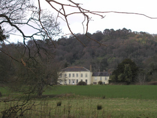 Bellurgan Parkhouse · 2.0 mi
 IndicatedBawn · 2.3 mi
 Proleek DolmenArchaeological place · 2.8 mi
 CastleCastle, tower house · 2.8 mi
 Soldiers' PointHeadland · 3.1 mi
 Carlingford - Slieve Foye LoopWalking route · 3.5 mi