What is recorded here
Doagh Isle watches from across Trawbreaga Bay while six cup marks cluster inside a pocked border on a boulder dug from a poorly drained Donegal slope. The landowner freed it during reclamation, pulling ancient visibility into a field where people once shaped stone beneath open sky. Two companion rocks left the place, but this one remains near its ridge, bearing the kind of repeated marking that suggests pride, memory or challenge rather than accidental damage.
Situated in an area of poorly drained land on the SW facing slope of rising ground in upland area with good views of Doagh Isle and Trawbreaga Bay to the W. The rock is located on or very close to a ridge of rock outcrop which forms the 500ft contour on the 1900 edition of the OS 6-inch map. The rock art was discovered by the local landowner while he was carrying out land reclamation works in this field. This is one of three decorated rocks (DG004-083001/003) which were uncovered by the landowner, two of these rocks (DG004-083002/003) have been removed from their original location while the third rock (DG004-083001) is still in situ. This irregular shaped boulder (H 1m; L 4m) which was originally natural rock outcrop has been dug out of the ground during land reclamation works and now rests a few metres from its original location. The top of this rock is decorated with a series of at least 6 closely spaced cup marks all of which are contained within a pock marked panel with at least two deeper cup marks located above this panel which may have been framed within a second pock marked border. A second displaced boulder (DG004-083003) carved with cup and ring motifs which are also framed inside an irregular shaped pocked border has now been moved from here to the nearby roadside which is 130m to the NE.
Compiled by: Caimin O'Brien
Date of upload/revision: 19 May 2011
Likely dating to the Neolithic or Bronze Age, this rock art may have held ritual or territorial significance, possibly linked to landscape features such as Doagh Isle and Trawbreaga Bay. Symbolic carvings could represent celestial, seasonal, or mythological themes common in prehistoric art.
The monument record does not grant public access. Check the route and ask the landowner before entering private land.
- What survives
- Recorded monument
Places near here
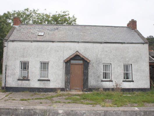 farm housefarm house · 654 yd
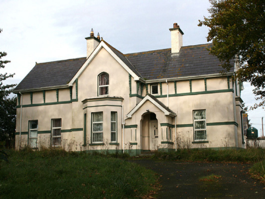 rectory/glebe/vicarage/curate's houserectory/glebe/vicarage/curate's house · 1.3 mi
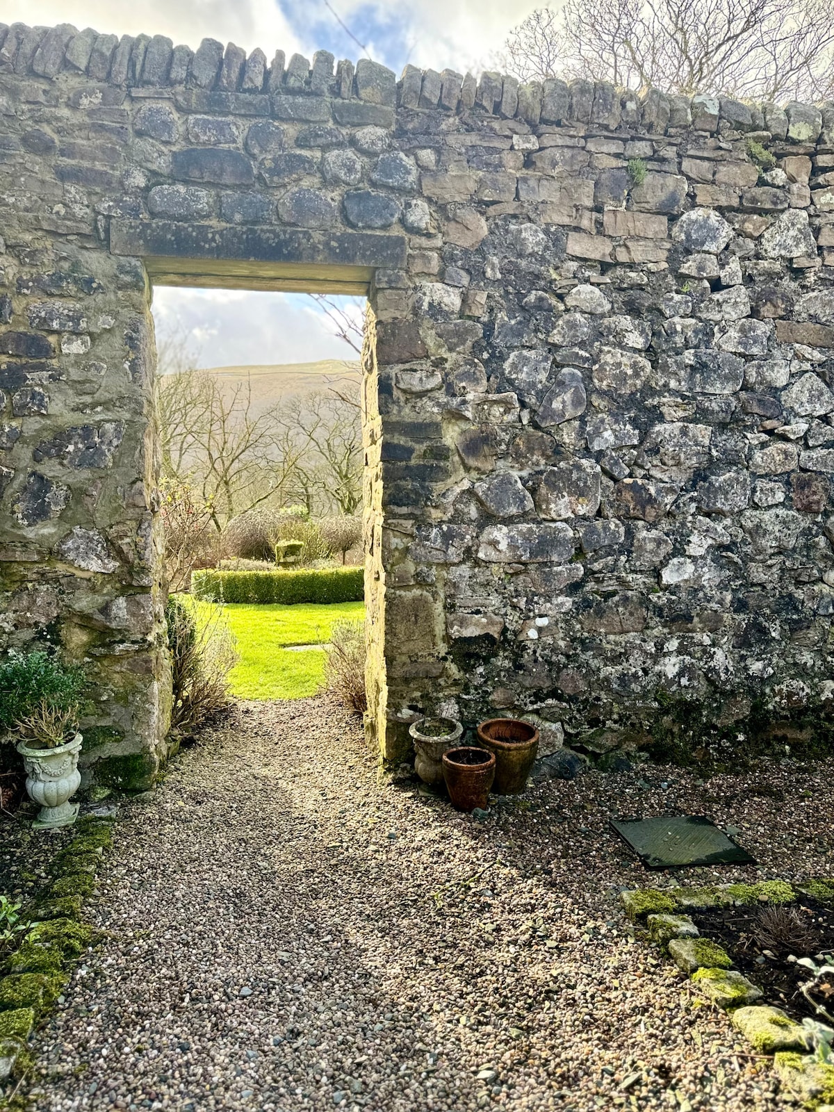 Hilltop enclosure in Part OF Balleeghan LowerHilltop enclosure · 1.8 mi
 Crannoge FortFairy fort / earthen ringfort · 1.9 mi
 CastleCastle, unclassified · 3.3 mi
 Lag GraveyardGraveyard · 3.5 mi
 CuldaffOfficial bathing water · 3.8 mi
 Five Finger StrandBeach / strand · 3.9 mi
 Doagh Famine VillageMuseum · 3.9 mi
 Dough Famine VillageHeritage attraction · 3.9 mi
 Carndonagh Early Church GraveyardGraveyard · 4.6 mi
 Wee House of Malin CaveCave · 4.9 mi