What is recorded here
On S facing slope in area of improved pasture. Kinahan (1884, 224-6) noted a stone ('Stone A') at this location in a field which was known as 'fort field'. Kinahan described the stone as 'about 5 feet by 5.3 feet, and standing 3.3 feet high' with 11 cup marks. The field was cleared of stone when inspected by ASI in 1990, however a stone approximately the size of that recorded by Kinahan was noted in the NE field boundary but no cup marks could be seen on the exposed surfaces.
Compiled by: Claire Breen
Date of upload: 11 July 2013
Likely dating to the Neolithic or Bronze Age, the rock art may have had ritual or territorial significance, possibly linked to early farming communities. Local folklore sometimes associates such stones with ancient forts or protective symbols.
The monument record does not grant public access. Check the route and ask the landowner before entering private land.
- What survives
- Recorded monument
Places near here
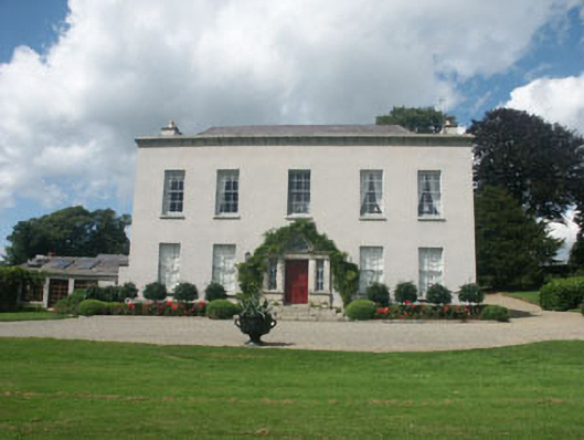 Ballykean Housecountry house · 999 yd
 Enclosure in Kilmacrea UpperEnclosure · 1304 yd
 The Round BallEnclosure · 1730 yd
 Church in KilboyChurch · 1749 yd
 Mexican CypressMexican Cypress · 1.0 mi
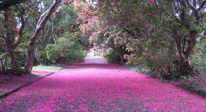 Kilmacurragh ArboretumForest · 1.1 mi
 Viewing TowerHeritage attraction · 3.4 mi
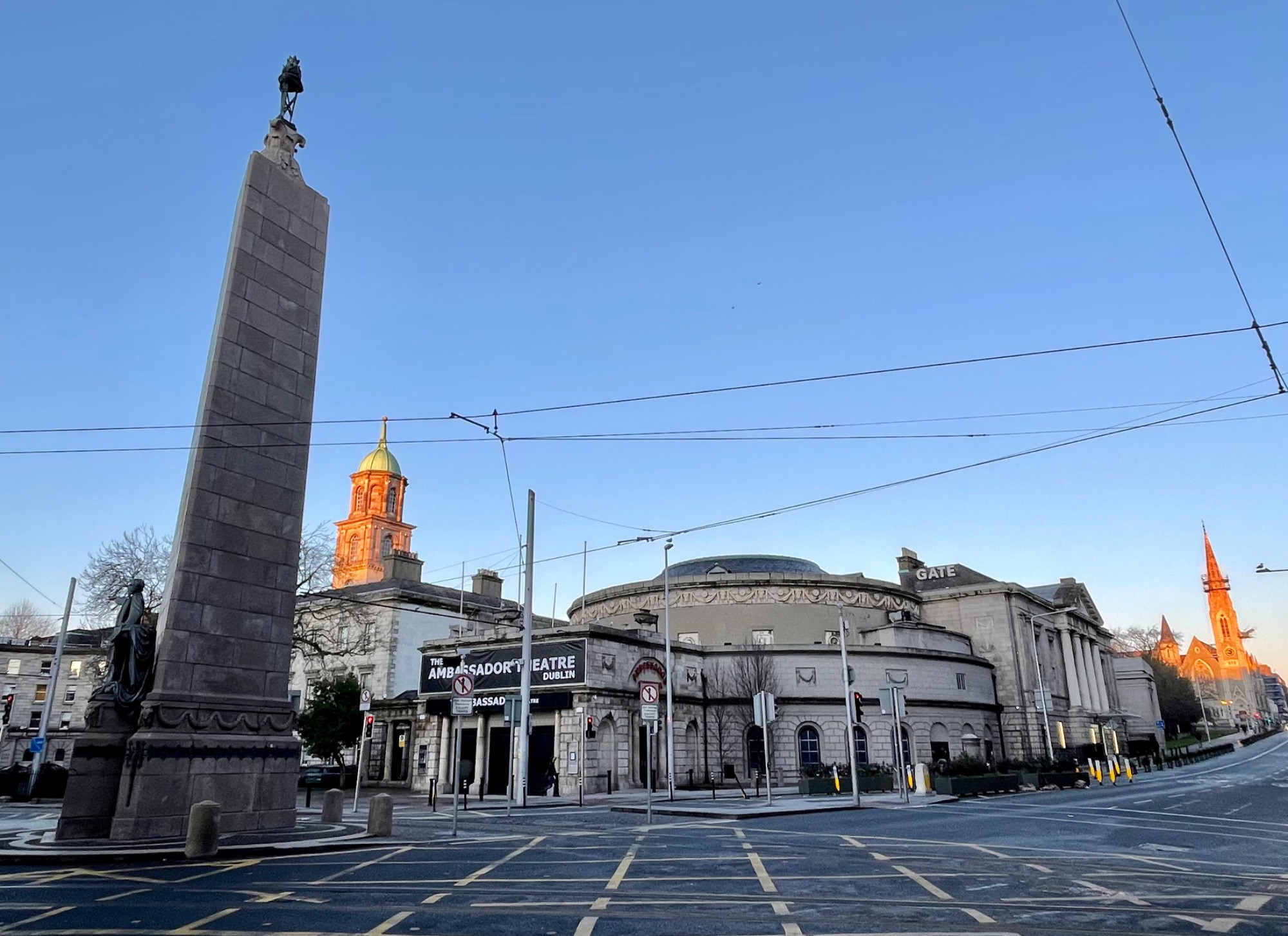 Parnell MonumentMemorial · 3.9 mi
 Wicklow 400Memorial · 3.9 mi
 Brittas BayBeach / strand · 4.2 mi
 Meeting of the WatersHeritage attraction · 4.2 mi
 Castle in ruinsCastle, tower house · 4.2 mi