What is recorded here
Pre-development assessment in 1999 identified a flint scatter in the north-west corner of a field (Conway, 2000, 90). Not precisely located.
Compiled by: Geraldine Stout
Date of upload: 26 August 2011
The monument record does not grant public access. Check the route and ask the landowner before entering private land.
- What survives
- Recorded monument
Places near here
 Burnt mound in RobswallsBurnt mound · 200 yd
 Patricks WellHoly well · 231 yd
 Robswall Castlehouse · 344 yd
 ChurchRuins · 377 yd
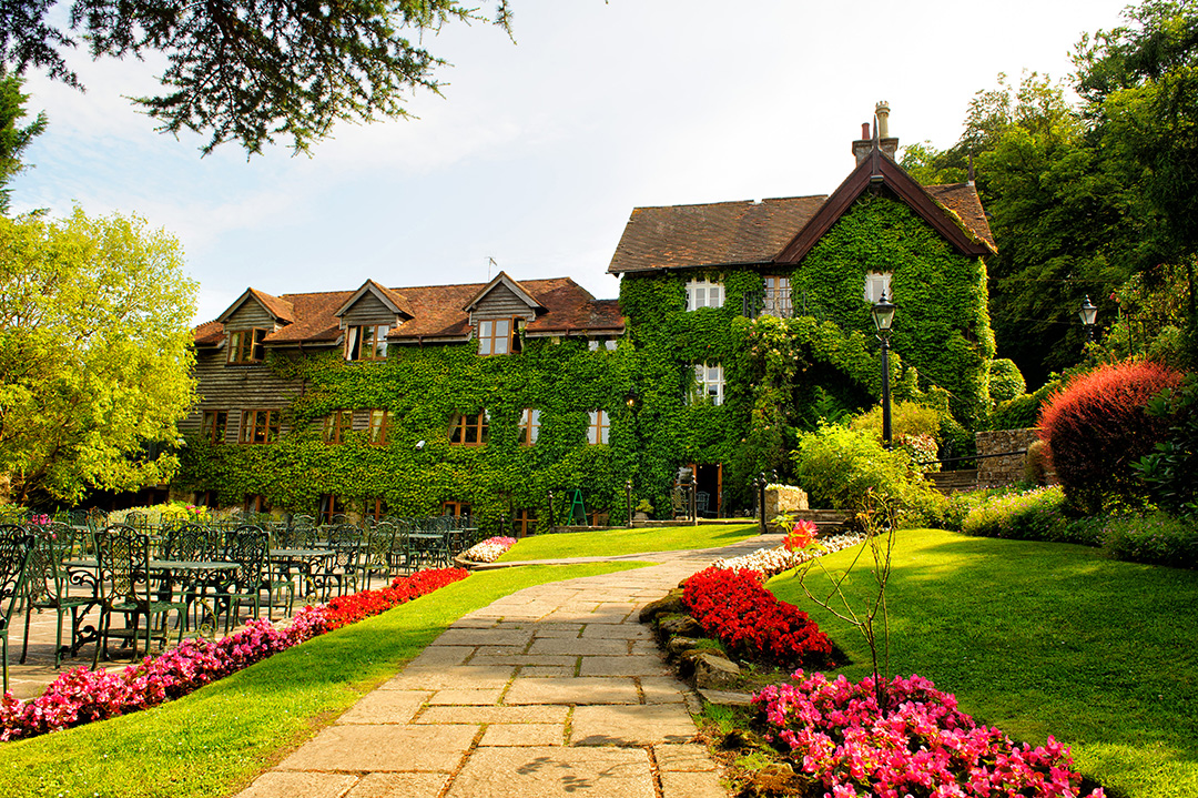 High RockViewpoint · 694 yd
 Malahide BeachBeach / strand · 850 yd
 MoatCastle, motte and bailey · 1229 yd
 Black WoodWood · 1312 yd
 Welcome To MalahideVisitor information · 1.1 mi
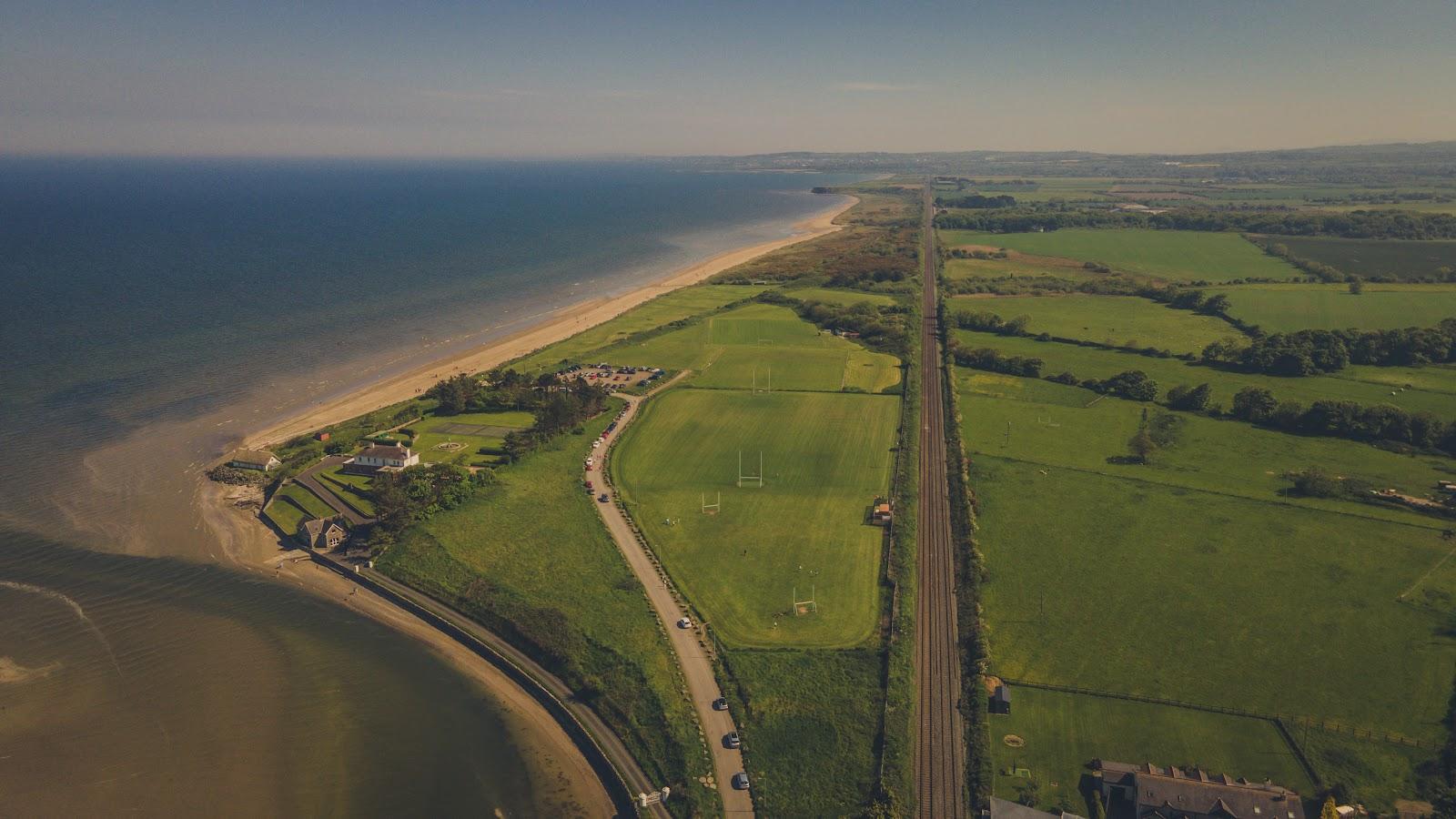 Corballis Nudist BeachBeach / strand · 1.2 mi
 Casino Model Railway MuseumMuseum · 1.2 mi
 Malahide Castle Demesne Church (Ruin)Ruins · 1.3 mi