What is recorded here
In improved pasture, on a SW-facing slope. Remains of a linear trackway (total L c. 400m) running NE-SW, from a public road across field towards Mortlestown Castle (TS062-011----) which lies c. 150m to the NE. It is depicted on the 1st (1840) ed. OS 6-inch map as a hachured trackway but is not indicated on the 2nd (1905) edition. It traversed two townlands, the lower (L c. 180m), less preserved section from the public road is in Lismortagh and the upper portion (L c. 280m) is in Mortlestown. It is best defined along the central portion as a raised level, linear area ((L c. 100m; Wth 4m; max. H 0.1m to NE; H 0.2m to SW) with a linear fosse (Wth 5.1-5.5m; D 0.15-0.2m) and the remains of an outer bank (Wth c. 2m; ext. H c. 0.1m) on either side. Where the monument has been levelled it is traceable as a spread wide (Wth 8m) defined by a fosse (Wth 5.1m; D 0.25m to NE; Wth 5m; D 0.05m on SW) on either side.
Compiled by: Jean Farrelly
Date of upload: 26 August 2011
The monument record does not grant public access. Check the route and ask the landowner before entering private land.
- What survives
- Recorded monument
Places near here
 Mortlestown Castle RuinCastle · 310 yd
 IndicatedFairy fort / earthen ringfort · 383 yd
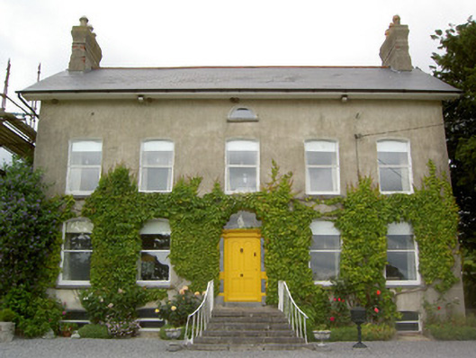 Lismortagh Househouse · 598 yd
 Enclosure in Milltown St. JohnEnclosure · 670 yd
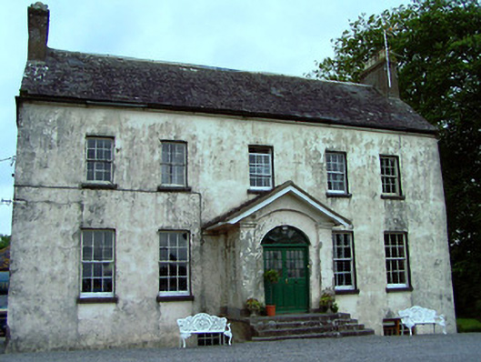 The Rectoryrectory/glebe/vicarage/curate's house · 1413 yd
 Saint Johnstown CastleCastle · 1.2 mi
 Eagle HillMountain / peak · 2.1 mi
 Noan WoodWood · 3.6 mi
 Kilknockan HillMountain / peak · 3.8 mi
 Taylor's WoodWood · 4.2 mi
 Gobban Saer's GraveArchaeological place · 4.8 mi
 East GateMemorial · 4.9 mi