
What is recorded here
In improved pasture, on an E-facing slope with good views over a small valley to E. Ringforts (TS062-019----, TS062-018---- and TS062-021----) lie c. 250m to WNW, 250m to NW and 260m to SE respectively. A semi-circular area (dims. 62.65m E-W; 55m N-S), open to the E (Wth 55m), defined by the remains of an earthen bank (overall Wth 8.1m; Wth at top 1.5m; int. H 0.35m; ext. H 0.65m) SSE-W-NNE; fosse (overall Wth 8.05m; basal Wth 1.25m; D 0.3m) SSE-W-NNE and well defined, low earthen outer bank (overall Wth 5.65m; Wth at top 1.65m; int. H 0.4m; ext. H 0.4m) S-W-NNE. A sub-oval quarried depression (dims. 34.3m E-W; 32m N-S; max. D 1.25m) occupies the centre and W sector of the interior and the fosse has been backfilled in the W quadrant due to quarrying activities. A field boundary runs N-S c. 5m to the E. The bank and fosse of the E quadrant are not visible at ground level on either side of this field boundary.
Compiled by: Jean Farrelly
Date of upload: 26 August 2011
The monument record does not grant public access. Check the route and ask the landowner before entering private land.
- What survives
- Recorded monument
Places near here
 IndicatedFairy fort / earthen ringfort · 354 yd
 Mortlestown Castle RuinCastle · 756 yd
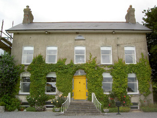 Lismortagh Househouse · 811 yd
 Enclosure in St. JohnstownEnclosure · 882 yd
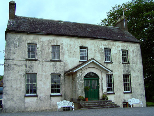 The Rectoryrectory/glebe/vicarage/curate's house · 1572 yd
 Saint Johnstown CastleCastle · 1652 yd
 Eagle HillMountain / peak · 1.8 mi
 Kilknockan HillMountain / peak · 3.7 mi
 Noan WoodWood · 4.0 mi
 Taylor's WoodWood · 4.6 mi
 East GateMemorial · 4.8 mi
 Gobban Saer's GraveArchaeological place · 5.1 mi
Other information
Photo: Credit not shown in the picture search · Rights wording not checked; contact us if this picture should be removed