
What is recorded here
On gradual W-facing slope in gently undulating hilly terrain under pasture. The Clashawley river flows N-S c. 10m W of W edge of monument. Though enclosure has been levelled the outline can stilled be traced (diam. 30.5m NE-SW) in the W quadrant where it is defined by scarp (H 0.74m over 6m) and in the N quadrant where it is defined by a broad, flattened bank (ext. H 0.4m) with an indication of a fosse at the base (Wth c. 2.4m; D 0.13m). Monument is depicted as a roughly square enclosure on the 1st (1840) ed. OS 6-inch map and is not indicated on the 1903-04 ed. suggesting it was levelled before 1904. According to Cahill (1982) local information suggests that a Man-made underground passage existed at this monument.
Compiled by: Jean Farrelly
Date of revised upload: 13 October 2014
The monument record does not grant public access. Check the route and ask the landowner before entering private land.
- What survives
- Recorded monument
Places near here
 Enclosure in Milltown St. JohnEnclosure · 882 yd
 RathroeFairy fort / earthen ringfort · 1156 yd
 St. Johnstown ChurchChurch · 1247 yd
 Saint Johnstown CastleCastle · 1326 yd
 Mortlestown Castle RuinCastle · 1560 yd
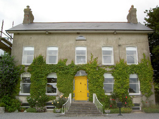 Lismortagh Househouse · 1616 yd
 Eagle HillMountain / peak · 1.4 mi
 Kilknockan HillMountain / peak · 3.7 mi
 Noan WoodWood · 4.5 mi
 East GateMemorial · 4.8 mi
 European YewEuropean Yew · 4.9 mi
 Gobban Saer's GraveArchaeological place · 5.5 mi
Other information
Photo: Credit not shown in the picture search · Rights wording not checked; contact us if this picture should be removed