What is recorded here
Located in a field to the E of a possible ringwork (TN047-067). The sunken way is oriented E-W apparently towards the earthwork and is possibly contemporary with it. It consists of two linear banks with a central depression. The bank to the S is very denuded and is partially incorporated into the hedgerow which runs parallel to the site. The well-preserved N bank is 2.4m wide at the crest, 5.2m wide at the base and is 0.49m high. This site is not marked on either the 1843 or the 1952-3 ed. OS 6-inch maps.
The above description is derived from 'The Archaeological Inventory of County Tipperary. Vol. 1 - North Tipperary' compiled by Jean Farrelly and Caimin O'Brien (Dublin: Stationery Office, 2002). In certain instances the entries have been revised and updated in the light of recent research.
Date of upload/revision: 22 September 2008
The monument record does not grant public access. Check the route and ask the landowner before entering private land.
- What survives
- Recorded monument
Places near here
 CastleCastle, ringwork · 315 yd
 Enclosure in MoycarkyEnclosure · 336 yd
 Horse and Jockey Railway Stationsignal box · 937 yd
 Gift Horse GalleryGallery · 1074 yd
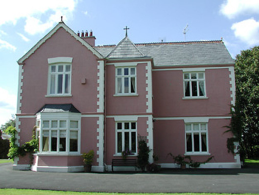 presbytery/parochial/curate's housepresbytery/parochial/curate's house · 1089 yd
 Castle in ruinsCastle, tower house · 1284 yd
 Enclosure in Curraheen (ballymurreen Par.)Enclosure · 1686 yd
 Horse and JockeyVisitor information · 1.4 mi
 Killough Hill (site of)Mountain / peak · 2.0 mi
 Gobban Saer's GraveArchaeological place · 2.7 mi
 European ashEuropean ash · 3.2 mi
 Wildlife CorridorWood · 3.3 mi