
What is recorded here
Located on level ground at the NE base of a natural rise. This possible tower house was knocked c. 15 years ago and all stone buried in an old limekiln. According to a landowner it stood at least two storeys high. A barn and concrete yard now occupy the site. Described in the OS Letters as 'the ruins of a square castle', of limestone, of which only the E side (L 22ft 6ins/6.9m) and 13ft (3.9m) of the N and S walls remain (H 28ft/8.4m). The doorway was on the E end but was destroyed by c. 1840. The first floor was supported on a stone arch of which only a fragment survived, with two flat-headed windows on the E side. (O'Flanagan 1930, vol. 1, 170)
The above description is derived from 'The Archaeological Inventory of County Tipperary. Vol. 1 - North Tipperary' compiled by Jean Farrelly and Caimin O'Brien (Dublin: Stationery Office, 2002). In certain instances the entries have been revised and updated in the light of recent research.
Date of upload/revision: 22 September 2008
A local castle; wider significance not recorded.
This remains an important historical record, but the official description says the monument is no longer visible or has been destroyed. The monument record does not grant public access. Check the route and ask the landowner before entering private land.
- What survives
- No visible remains or recorded as destroyed
Places near here
 CastleCastle, ringwork · 983 yd
 Enclosure in MoycarkyEnclosure · 1032 yd
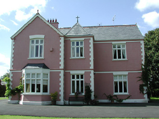 presbytery/parochial/curate's housepresbytery/parochial/curate's house · 1326 yd
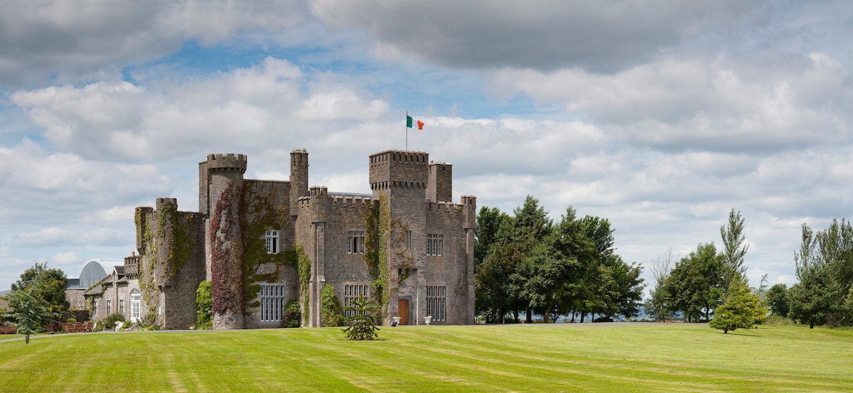 Graigue CastleCastle · 1551 yd
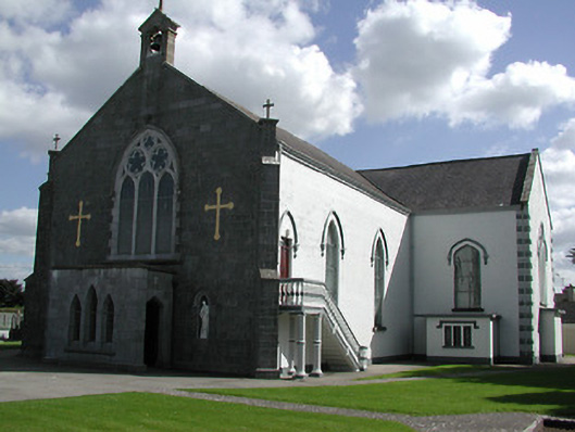 Saint Peter's Catholic Churchchurch/chapel · 1.0 mi
 Enclosure in Killough (gaile Par.)Enclosure · 1.1 mi
 Killough Hill (site of)Mountain / peak · 1.3 mi
 Gift Horse GalleryGallery · 1.3 mi
 Horse and JockeyVisitor information · 2.1 mi
 Wildlife CorridorWood · 3.2 mi
 Gobban Saer's GraveArchaeological place · 3.4 mi
 Byrnes's WoodsForest · 3.4 mi
Other information
Photo: Credit not shown in the picture search · Rights wording not checked; contact us if this picture should be removed