
What is recorded here
A gravel road (L 600m min.), orientated NNE-SSW, was exposed during peat-milling, c. 1980, 1m below the field surface. A section of it (L 190m; Wth 4m; D 0.2m) was excavated in 1988. It was found to be constructed of large pebbles set in a bed of fine gravel and sand, beneath which was a layer of coarser gravel with oak transverses that gave strength to the foundation. Beneath this again were occasional pockets of worked hazel, birch brushwood and twigs. Radiocarbon dated to AD 669-777 (1284±19 BP, GrN-16875). (Raftery 1996, Knappoge, 194-5)
Compiled by: Mary Tunney based on data supplied by the former Irish Archaeological Wetland Unit, University College, Dublin.
Date of upload: 26 August 2011
A prehistoric trackway, likely Bronze Age in date, constructed of gravel and stone; it represents an early transport feature in a peatland environment, indicating human activity and land use in the area during the prehistoric period.
The monument record does not grant public access. Check the route and ask the landowner before entering private land.
- What survives
- Recorded monument
Places near here
 StructureStructure, peatland · 1042 yd
 Enclosure in BallynakillEnclosure · 1.2 mi
 Abbey (in Ruins)Church · 1.2 mi
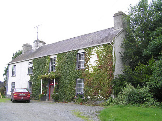 Middleton Housecountry house · 1.2 mi
 Commons North WalkVisitor information · 3.8 mi
 Wild birdsVisitor information · 4.0 mi
 Ballyclare IslandIslet · 4.5 mi
 St. Barry's WellSpring · 4.5 mi
 White Sand WoodWood · 4.5 mi
 Graveyard in Curry (ardagh By., Coolamber Ed)Graveyard · 4.9 mi
 Rathcline CastleBawn · 5.0 mi
 Long IslandIslet · 5.2 mi
Other information
Photo: Credit not shown in the picture search · Rights wording not checked; contact us if this picture should be removed