
What is recorded here
Within a possible ecclesiastical enclosure (LF013-045001-), in the SE part of a graveyard (LF013-045009-). Known as 'Cluain Deochra', this is traditionally regarded as the site of a monastery founded by St Ernan (McNamee 1942a, 16-20). A church is depicted in the townland of 'Clonoghery' on an early 17th-century map of Moydow barony (BL, Cotton MS Augustus I.ii.28). A report in 1975 (SMR file) noted that only the N wall and part of the S wall of this medieval church survived. A possible doorway was evident at the W end of the N wall. A number of tombstones were visible in the interior and a modern tomb occupied the E end of the church. An ogival window head and a possible font had been placed within the canopy niche of the tomb and five cross-slabs (LF013-045004-, LF013-045010-, LF013-045011-, LF013-045012-, LF013-045013-) were cemented to the wall of the niche. A bullaun stone (LF013-045006-) was set in the ground outside the NW corner of the church.
On inspection in 2008 only the foundations of parts of the N wall (L 10m; wall T 0.9m; H 1.2m) and the E gable (L 8m) survived. A drystone wall (H 1.2m; T c. 1m) built on top of the foundations relates to a graveyard clean-up scheme that was carried out in the 1990s. Several architectural fragments from the church can be seen in its fabric. A modern display feature has been erected on the site of the E gable and the five cross-slabs and the window head are now cemented into its W face. The bullaun stone was still visible at NW. A rockery had been built at the E end of the N wall and a second bullaun stone (LF013-045005-), possibly the font noted above, has been placed on it. A hospital (LF013-045014-) is also associated.
Compiled by: Caimin O'Brien
Date of upload: 4 June 2013
A monastery at Cluain Deochra, traditionally founded by St Ernan in the 6th or 7th century, is associated with the ruins at Ballynakill; the site is located within an ecclesiastical enclosure and graveyard, reflecting early Christian monastic settlement in the region.
The monument record does not grant public access. Check the route and ask the landowner before entering private land.
- What survives
- Recorded monument
Places near here
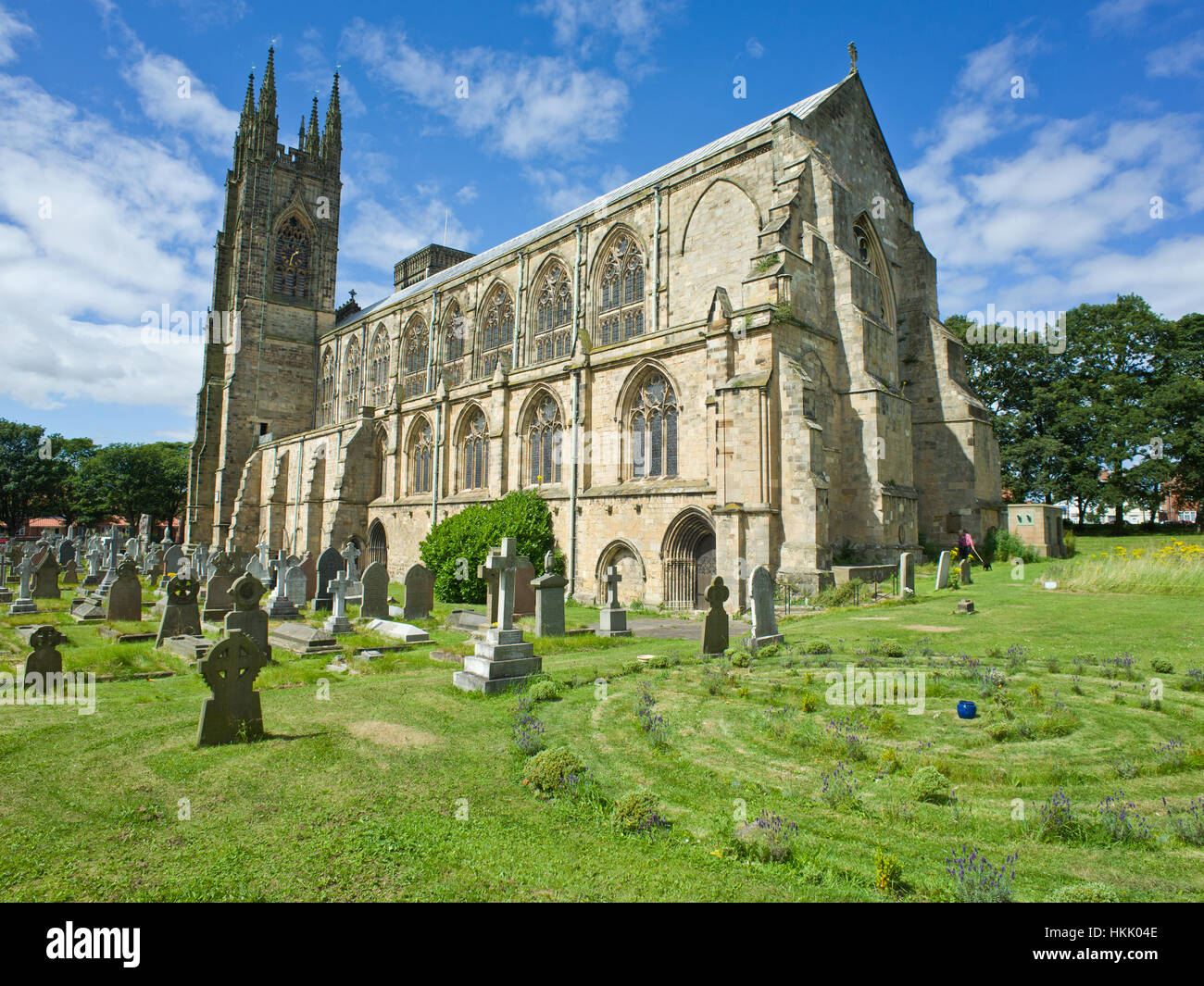 Grave YardGraveyard · 26 yd
 Enclosure in BallynakillEnclosure · 66 yd
 RoadRoad, gravel/stone trackway, peatland · 827 yd
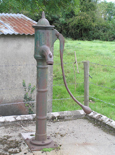 water pumpwater pump · 840 yd
 Commons North WalkVisitor information · 3.2 mi
 Wild birdsVisitor information · 3.4 mi
 White Sand WoodWood · 3.8 mi
 Ballyclare IslandIslet · 3.9 mi
 Rathcline CastleBawn · 4.3 mi
 Graveyard in Curry (ardagh By., Coolamber Ed)Graveyard · 4.3 mi
 Lebanon CedarLebanon Cedar · 5.9 mi
 FerrinchIslet · 6.0 mi
Other information
Photo: Credit not shown in the picture search · Rights wording not checked; contact us if this picture should be removed