What is recorded here
This site is located in the industrial peatlands of Toar Bog. It was a previously unrecorded togher, uncovered during the excavation of WM-TOR064a. It was located 0.86m below the field surface.
A single cutting was opened and excavated under licence 14E0294. The site was situated in moderate to well-humified Sphagnum peat with Eriophorum inclusions. It was dated to cal. 1214-980 BC (UBA 35503). The togher was 1.35m in width and 0.09m in depth. It was composed of longitudinal ash and alder brushwood and roundwoods with larger, heavy brushwood delineating the E and W sides. The majority of the elements were brushwood which were relatively well preserved, some having intact bark. They were laid two to three elements deep.
Compiled by: Jane Whitaker/Femke Vleeshouwer
Date of upload: 28/02/2020
The monument record does not grant public access. Check the route and ask the landowner before entering private land.
- What survives
- Recorded monument
Places near here
 StructureStructure, peatland · 1.2 mi
 IndicatedEnclosure · 1.2 mi
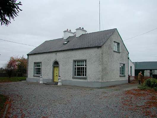 Mayvillehouse · 1.4 mi
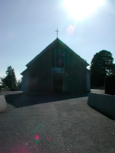 Saint Stephen's Catholic Churchchurch/chapel · 1.5 mi
 Montrath Castle (in ruins)Castle, tower house · 1.6 mi
 Tyrrellspass CastleCastle, tower house · 1.6 mi
 Cruil HillMountain / peak · 2.3 mi
 Lackan HillMountain / peak · 2.4 mi
 Saint Clavin's WellSpring · 2.9 mi
 Ardan WoodWood · 3.1 mi
 Finnrenashark Holy WellSpring · 3.7 mi
 Croghan HillMountain / peak · 3.7 mi