What is recorded here
The site (Wth 0.94m; D 0.33m) consists of a band of densely packed brushwood. All pieces are regularly aligned in an E-W direction but the orientation of the site is not clear. The brushwood (diam. 0.016-0.046m) is up to five pieces deep. Wood species include hazel and Pomoideae. Radiocarbon dated to 802-411 cal. BC (UCD-0145). The wood is in good condition and sits in moderately humified Sphagnum and Eriophorum peat containing ericaceous roots and a Rosaceae seed. The site is adjacent to SMR WM039-199---- to the NE and SMR WM039-215---- to the SW and is one of ten closely situated sites along a 12m length of this drain face.
Date of upload: 13 August 2013
The monument record does not grant public access. Check the route and ask the landowner before entering private land.
- What survives
- Recorded monument
Places near here
 StructureStructure, peatland · 650 yd
 Partially hachuredFairy fort / ringfort · 1382 yd
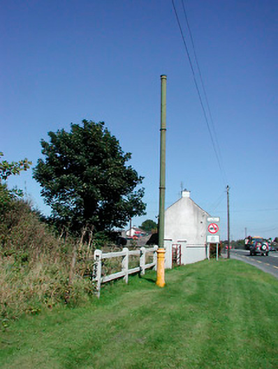 vent pipevent pipe · 1.1 mi
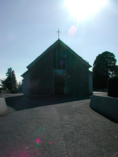 Saint Stephen's Catholic Churchchurch/chapel · 1.1 mi
 Tyrrellspass CastleCastle, tower house · 1.2 mi
 Montrath Castle (in ruins)Castle, tower house · 1.5 mi
 Ardan WoodWood · 2.3 mi
 Lackan HillMountain / peak · 2.6 mi
 Bonfire HillMountain / peak · 3.3 mi
 Bracklin WoodWood · 4.3 mi
 Finnrenashark Holy WellSpring · 4.5 mi
 Croghan HillMountain / peak · 4.6 mi