What is recorded here
A togher (Wth 0.6m; D 0.1m), orientated NW-SE, constructed of longitudinal roundwood and brushwood surrounded by transverse twigs and brushwood (diam. 0.015-0.055m). The predominant species were hazel and birch and there was evidence of woodworking.
Compiled by: Mary Tunney based on data supplied by the former Irish Archaeological Wetland Unit, University College, Dublin.
Date of upload: 26 August 2011
The monument record does not grant public access. Check the route and ask the landowner before entering private land.
- What survives
- Recorded monument
Places near here
 RoadRoad, class 2 togher · 190 yd
 StructureStructure, peatland · 222 yd
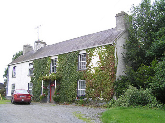 Middleton Housecountry house · 1175 yd
 Ardneevs WellHoly well · 1598 yd
 Commons North WalkVisitor information · 4.1 mi
 Graveyard in Curry (ardagh By., Coolamber Ed)Graveyard · 4.3 mi
 St. Barry's WellSpring · 4.4 mi
 Wild birdsVisitor information · 4.4 mi
 White Sand WoodWood · 4.9 mi
 Ballyclare IslandIslet · 4.9 mi
 Bawn in AbbeycartronBawn · 4.9 mi
 First World War MemorialMemorial · 5.0 mi