What is recorded here
The site (L 10.9m min.; Wth 0.74m; D 0.07m) is orientated NNE-SSW evident at two sightings. At the NE extent the site consists of compactly set, longitudinally laid roundwoods (diam. 0.6m) with some pieces of brushwood (diam. 0.01-0.042m) and twigs used to fill the voids in the structure. Only one degraded tool mark was recorded. The site is within poorly humified Sphagnum with Eriophorum and ericaceous remains and occasional Menyanthes seeds. To the SSW the site was similarly constructed but in poorer condition and disappears toward an area of high bog, located in the centre of this bog.
Compiled by: Irish Archaeological Wetland Unit (University College Dublin).
Date of upload: 23 May 2011
The monument record does not grant public access. Check the route and ask the landowner before entering private land.
- What survives
- Recorded monument
Places near here
 RoadRoad, class 3 togher · 249 yd
 Enclosure in CloonacullinaEnclosure · 1.1 mi
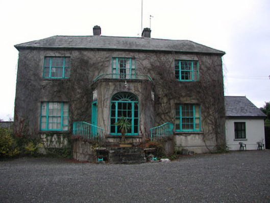 Claremount Housecountry house · 1.8 mi
 Kilcamin Holy WellHoly well · 2.0 mi
 Garry Castle in ruinsCastle, tower house · 2.1 mi
 All Saints' WellSpring · 2.1 mi
 CastleCastle, tower house · 2.1 mi
 Corrigans CornerMemorial · 2.9 mi
 Bullock IslandIsland · 3.1 mi
 Birds IslandIslet · 3.1 mi
 Banagher MarinaHeritage attraction · 3.2 mi
 Cloghan HillMountain / peak · 3.8 mi