What is recorded here
The site (Wth 0.37m; D 0.04m) is orientated NE-SW and composed of an irregular deposit of hazel brushwood (diam. 0.022-0.032m). Most of the wood is broken and embedded at angles of 20-25° with a single recorded peg. A range of flat and concave tool facets was recorded on the worked ends.
Compiled by: Irish Archaeological Wetland Unit (University College Dublin).
Date of upload: 23 May 2011
The monument record does not grant public access. Check the route and ask the landowner before entering private land.
- What survives
- Recorded monument
Places near here
 StructureStructure, peatland · 24 yd
 RoadRoad, class 3 togher · 238 yd
 Enclosure in Ballyduff (garrycastle By.)Enclosure · 1.1 mi
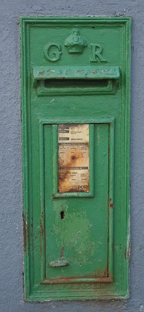 post boxpost box · 1.8 mi
 Endrim HillMountain / peak · 2.0 mi
 Clonlyon CastleCastle, tower house · 2.1 mi
 Bawn in Lackagh MoreBawn · 3.1 mi
 European ashEuropean ash · 3.3 mi
 Ballylin Bog BoardwalkHeritage attraction · 3.6 mi
 ClonmacnoiseMuseum · 4.0 mi
 Graveyard in ClonmacnoiseGraveyard · 4.0 mi
 Long IslandIsland · 4.1 mi