
What is recorded here
The togher (L 110m; Wth 1.4m), orientated ESE-WNW, recorded by the Irish Archaeological Wetland Unit (UCD) in 1991 as DYH 0011 (Moloney et al. 1993, 116) is likely to correspond with this togher. When inspected in 1999 the upper portion was exposed on the surface and was visible across six fields as a band of wood chips. However, there was evidence to suggest that parts of the remains survived intact beneath ground level. The elements consisted largely of closely arranged longitudinal roundwood, small and large brushwood, and twigs. Some transverse elements were noted that extended at a 30-40º angle to the longitudinals (Dunne 1999, 38, 99DBSE0033A-F). Excavation in 2001 yielded a date range of 377-264 BC and indicated that the togher was constructed of hazel, with some hawthorn and birch and a smaller amount of ash (Whitaker 2009, 42).
Compiled by: Mary Tunney based on data supplied by the former Irish Archaeological Wetland Unit, University College, Dublin, and the Archaeological Development Services.
Date of upload: 26 August 2011
The monument record does not grant public access. Check the route and ask the landowner before entering private land.
- What survives
- Recorded monument
Places near here
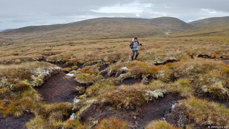 PlatformPlatform, peatland · 127 yd
 StructureStructure, peatland · 274 yd
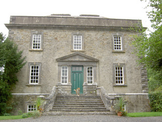 Ledwithstown Househouse · 1.7 mi
 water pumpwater pump · 1.8 mi
 Corlea Trackway Interpretative CentreHeritage attraction · 1.9 mi
 Corlea Bog Walk Blue LoopWalking route · 1.9 mi
 Corlea Bog Walk Canal BranchWalking route · 2.1 mi
 Caltragh CastleCastle, unclassified · 2.8 mi
 CastleBawn · 3.4 mi
 Leveret IslandIslet · 3.5 mi
 Culnagore WoodForest · 3.6 mi
 Bush IslandIslet · 3.7 mi
Other information
Photo: Credit not shown in the picture search · Rights wording not checked; contact us if this picture should be removed