What is recorded here
Situated in the middle of the tidal Fergus Estuary, N of the archipelago of islands. Described by O’Sullivan et al. (2010) as follows: ‘Boarland Rock 16 was first discovered in September 2009. It is a small V-shaped ebb weir with an associated basket measuring 0.2m by 0.1m. The shore fence (running E-W) and the flood fence (runs roughly N-S) are 18m and 8m long respectively. Horizontal wood has survived at the funnel end of the weir. At the mostly easterly end of the shore fence, is a line of posts 8m in length, extending of to the S. Whether this is connected to BR 16 is not certain.’ (O’Sullivan et al. 2010, Appendix 1, 45-6, Boarland Rock 16)
Compiled by: Mary Tunney
Date of upload: 9 October 2019
The monument record does not grant public access. Check the route and ask the landowner before entering private land.
- What survives
- Recorded monument
Places near here
 Gull RockNamed rock · 1.8 mi
 Rine PointHeadland · 1.8 mi
 Enclosure in Drumquin (islands By.)Enclosure · 1.9 mi
 Enclosure in Inishmore OR Deer IslandEnclosure · 2.1 mi
 Clenagh Castle (in Ruins)Castle, tower house · 2.4 mi
 Cragbrien Castle (Site of)Castle, unclassified · 2.6 mi
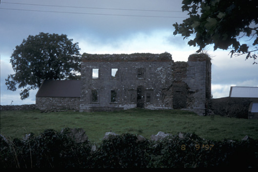 Teermaclane Housecountry house · 2.7 mi
 Church (in Ruins)Church · 2.8 mi
 Killone AbbeyHeritage attraction · 4.3 mi
 HawthornHawthorn · 4.4 mi
 Pan Am Flight 1-10aviation accident · 4.5 mi
 Abbey WoodForest · 4.5 mi