What is recorded here
An unidentified windmill stands in County Down, Ireland, but no surviving detail records when it turned, what it ground, or whether it still rises above the land. That absence is not a failure of knowledge; it is the shape of the story. A windmill is a wind-driven machine, and the county is where it belongs. The missing facts remove human witness, not the possibility that it existed.
The official Northern Ireland record identifies this as WINDMILL - IHR 03599. Recorded period: C19TH. Recorded protection: Scheduled. The official map point was placed at the centre of the recorded archaeological site from the source map reference.
The monument record does not grant public access. Check the route and ask the landowner before entering private land.
- What survives
- Recorded monument
Places near here
 Warrenpoint Parish ChurchChurch · 162 yd
 Joanne ReillyMemorial · 244 yd
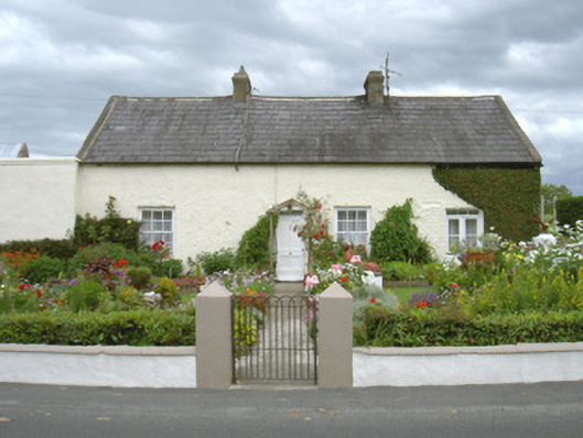 Ivy Cottagehouse · 1174 yd
 Dobbin's PointHeadland · 1586 yd
 Ecclesiastical site in CornamucklaghEcclesiastical site · 1.2 mi
 Warrenpoint ambushambush · 1.3 mi
 Narrow Water KeepHeritage attraction · 1.3 mi
 Narrow Water WatchtowerVisitor information · 1.3 mi
 TOWER-HOUSE AND BAWN: NARROW WATER CASTLE in Narrow WaterTOWER-HOUSE AND BAWN: NARROW WATER CASTLE · 1.3 mi
 Carlingford Lough GreenwayWalking route · 1.3 mi
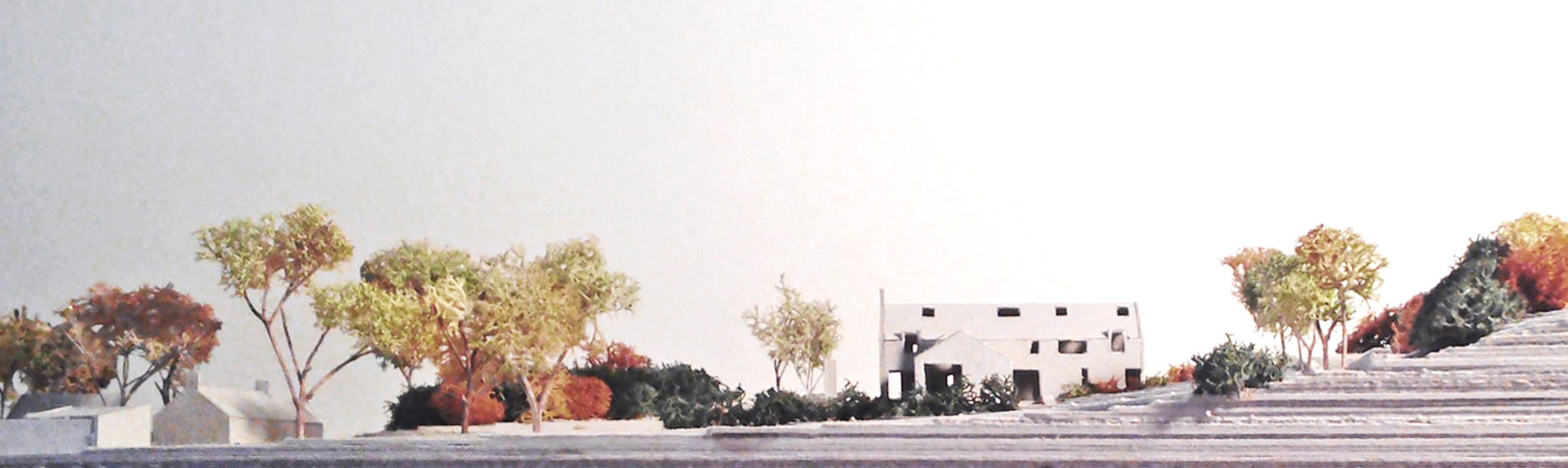 LisleaFairy fort / earthen ringfort · 1.4 mi
 Narrow Water CastleCastle · 1.5 mi