
What is recorded here
Recorded construction date: 1820 - 1839. Current recorded use: Church.
From the Northern Ireland Historic Buildings Record record HB16/11/001
The official record and map point do not grant access. Many historic buildings are privately owned; view them only from public ground unless the owner allows entry.
Places near here
Photo credits
- Eric Jones, Geograph · CC BY-SA 2.0
- National Inventory of Architectural Heritage
- Eric Jones, Geograph · Creative Commons Attribution-ShareAlike 2.0
- HENRY CLARK, Wikimedia Commons · CC BY-SA 2.0
- Wilson Adams, Wikimedia Commons · CC BY-SA 2.0
- James O'Neill, Wikimedia Commons · CC BY-SA 4.0
 Joanne ReillyMemorial · 366 yd
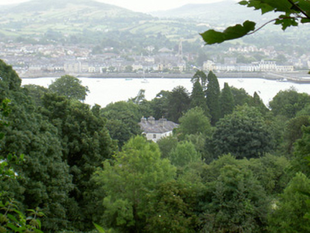 Saint Andrew's Church (Carlingford)Rectory/glebe/vicarage/curate's house · 1267 yd
 Saint Andrew's Church (Carlingford)Church/chapel · 1302 yd
 Dobbin's PointHeadland · 1424 yd
 Carlingford Lough GreenwayWalking route · 1.3 mi
 Warrenpoint ambushAmbush · 1.3 mi
 Narrow Water KeepHeritage attraction · 1.4 mi
 Narrow Water WatchtowerVisitor information · 1.4 mi
 Tower-house and bawn: narrow water castle in Narrow WaterTower-house and Bawn: Narrow Water Castle · 1.4 mi
 Narrow Water CastleCastle · 1.6 mi
 Ross MonumentMonument · 1.7 mi
 Anglesey MountainMountain / peak · 2.4 mi
More historic places in County Down · All of County Down
What do you know about this place?