What is recorded here
Reported by Mr Sam Hughes. In level tillage c. 45m SE of ‘Rheban Moat’ (KD034-001----). Visible on Google Earth aerial imagery (19-7-2021) as the cropmark of two concentric fosses enclosing a circular area (int. diam. c. 5m; ext. diam. c. 15m).
See attached image: KD034-044----_01 Snip from Google Earth aerial image (19-7-2021) with feature circled.
Compiled by: Gearóid Conroy
Date of upload: 27 July 2023
The monument record does not grant public access. Check the route and ask the landowner before entering private land.
- What survives
- Recorded monument
Places near here
 Milltown Bridgebridge · 359 yd
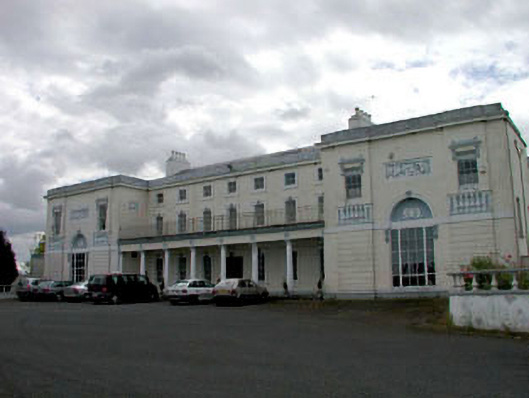 Bert Househouse · 741 yd
 Reban CastleCastle, Anglo-Norman masonry castle · 877 yd
 Enclosure in Castlereban SouthEnclosure · 931 yd
 Enclosure in Milltown (athy Rural Ed)Enclosure · 1152 yd
 IndicatedBawn · 1377 yd
 Brackney WoodForest · 2.4 mi
 Derryvullagh IslandForest · 2.9 mi
 1798 memorialMemorial · 3.0 mi
 Ernest ShackletonMemorial · 3.0 mi
 Town HallMuseum · 3.0 mi
 Cobbler's Castle WalkWalking route · 3.9 mi