
What is recorded here
Indicated as a possible circular enclosure (est. diam. c. 30m) on the 1st ed. (1839) of the OS 6-inch map, on the W bank of the River Barrow. In 1985 it was noted that the feature appeared to have been covered by material dredged from the river, although traces of possible circular platform were visible, extending W from under the dredged material (SMR File). The area is now densely planted with ash trees and there is no obvious visible surface trace of the feature noted previously.
Compiled by: Gearóid Conroy
Date of upload: 27 November 2013
The monument record does not grant public access. Check the route and ask the landowner before entering private land.
- What survives
- Recorded monument
Places near here
 Enclosure in TyrrellstownEnclosure · 315 yd
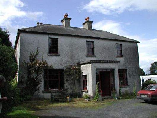 Moatstown Housemiller's house · 386 yd
 Milltown Bridgebridge · 886 yd
 IndicatedEnclosure · 1160 yd
 Reban CastleCastle, Anglo-Norman masonry castle · 1.1 mi
 Bawn in Townparks (athy West Urban Ed)Bawn · 1.9 mi
 Gone FishingMemorial · 2.3 mi
 1798 memorialMemorial · 2.3 mi
 Town HallMuseum · 2.3 mi
 Brackney WoodForest · 2.7 mi
 Derryvullagh IslandForest · 2.9 mi
 Cobbler's Castle WalkWalking route · 4.3 mi
Other information
Photo: Credit not shown in the picture search · Rights wording not checked; contact us if this picture should be removed