What is recorded here
Located on a fairly level landscape. The cropmark of a small enclosure (diam. c. 10m) is visible on a digital aerial photograph (WX027-064_1A) from 2004.
Compiled by: Michael Moore
Date of upload: 17 July, 2012
The monument record does not grant public access. Check the route and ask the landowner before entering private land.
- What survives
- Recorded monument
Places near here
 St. Thomass WellHoly well · 316 yd
 IndicatedFairy fort / ringfort · 450 yd
 Ballingowan MoteCastle, motte · 1412 yd
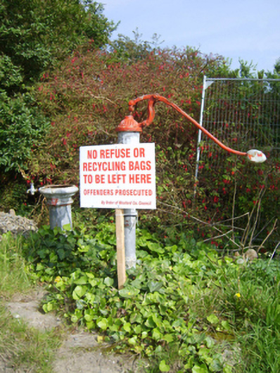 water pumpwater pump · 1532 yd
 Chapel (in ruins)Church · 1.1 mi
 1798 Insurrection MemorialMemorial · 2.1 mi
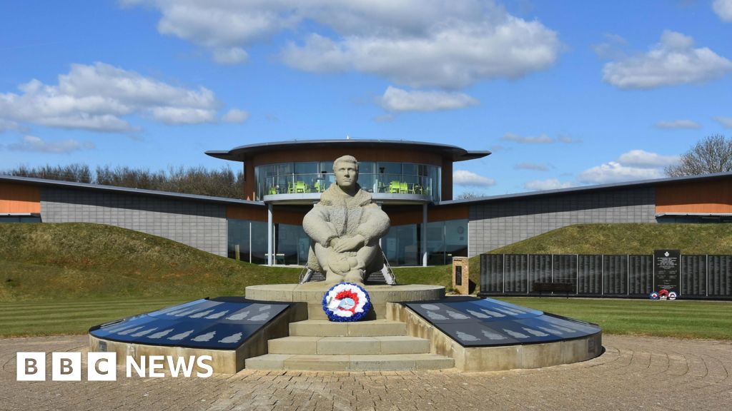 Memorial to The PomonaMemorial · 2.2 mi
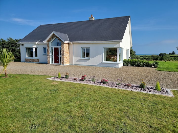 Tinnaberna BeachBeach / strand · 2.3 mi
 Hachured moundCastle, motte · 2.6 mi
 Blackwater Coastal Erosion Monitoring PointViewpoint · 3.0 mi
 71Mountain / peak · 3.1 mi
 Birds of PreyVisitor information · 3.6 mi