What is recorded here
On fairly flat valley floor, in grassland which has been ploughed and reclaimed. Identified as a cropmark on aerial photographs (CUCAP, AJQ 46, BDI 26, 28), this is one of three circular ring-ditches, possibly associated with a co-axial field system (KK004-013003-). The other ring-ditches are c. 30m to the NNW (KK004-013001-) and c. 80m to the WSW (KK004-013004-). There is another circular enclosure (KK004-012----) identified as a cropmark c. 320m to the SW. Not visible at ground level.
Compiled by: Jean Farrelly
Date of upload: 10 February 2016
The monument record does not grant public access. Check the route and ask the landowner before entering private land.
- What survives
- Recorded monument
Places near here
 Enclosure in Coole (fassadinin By.)Enclosure · 463 yd
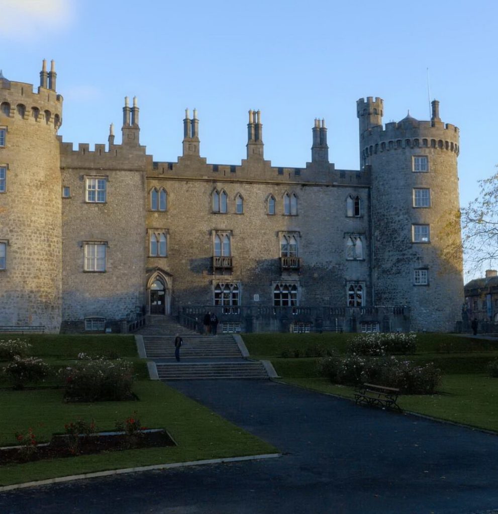 Enclosure in BallyconraEnclosure · 479 yd
 Anker's IslandIsland · 749 yd
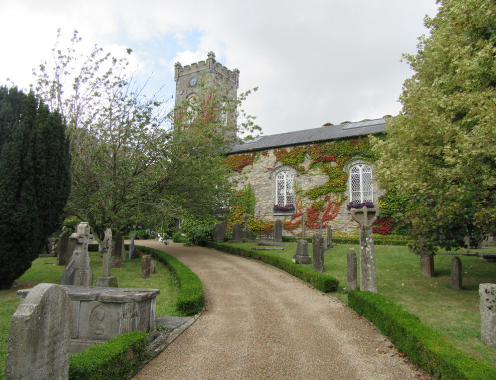 Church in BallyconraChurch · 757 yd
 Moat Castle (site of)Archaeological place · 822 yd
 CastleCastle, unclassified · 822 yd
 Kilfinan Church (in ruins)Church · 1522 yd
 Graveyard in SraleaghGraveyard · 1.3 mi
 Donaghmore WellSpring · 2.3 mi
 1798 MonumentMemorial · 4.8 mi
 Common LimeCommon Lime · 5.0 mi
 Street fieldArchaeological place · 7.2 mi