
What is recorded here
On a NW-SE ridge in an undulating field with higher ground on the S side, in pasture. Along the W boundary there is a sheer drop to the banks of the River Nore, where the river bends to the S. A former railway line ran NNW-SSE along the E field boundary. There are good views in all directions. Identified as cropmarks visible on an aerial photograph (CUCAP, BDI 25) taken in 1970. The aerial image suggests two roughly circular enclosures, one (diam. c. 47m) in the NW quadrant of the field, the other (diam. c. 20m) in the SE quadrant of the field. However, there are a lot of other markings on the aerial imaged which make identification unclear. On a black and white Goggle Earth image (taken 10 June 2008; viewed 26 April 2017) two roughly circular enclosures are visible in the SE quadrant of the field. The N enclosure (diam. 11m) slightly overlaps the S enclosure (diam. 11.5m) which is suggestive of a chronological sequence, the S enclosure being earlier.
Compiled by: Jean Farrelly
Date of revised upload: 24 April 2018
The monument record does not grant public access. Check the route and ask the landowner before entering private land.
- What survives
- Recorded monument
Places near here
 CastleCastle, motte · 408 yd
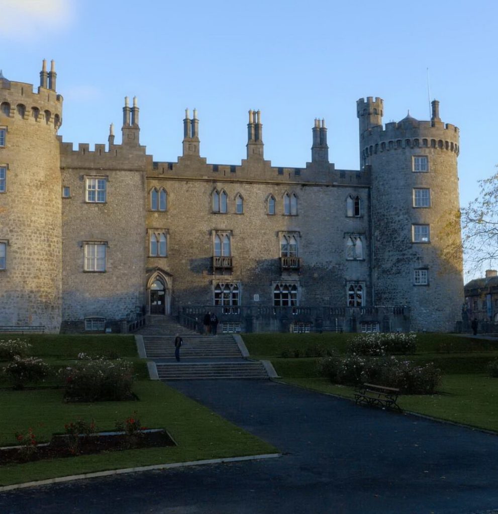 Enclosure in BallyconraEnclosure · 790 yd
 Anker's IslandIsland · 960 yd
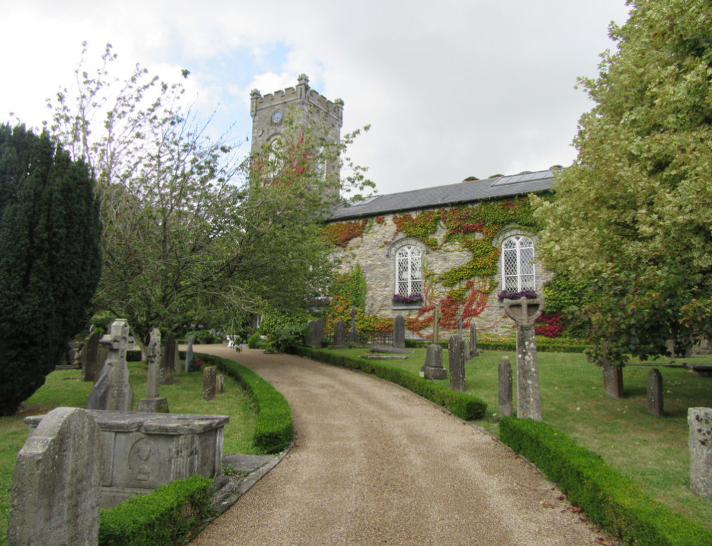 Church in BallyconraChurch · 970 yd
 Moat Castle (site of)Archaeological place · 1023 yd
 Ecclesiastical enclosure in GorteenaraEcclesiastical enclosure · 1037 yd
 Kilfinan Church (in ruins)Church · 1063 yd
 Graveyard in SraleaghGraveyard · 1.2 mi
 Donaghmore WellSpring · 2.4 mi
 1798 MonumentMemorial · 4.5 mi
 Common LimeCommon Lime · 4.8 mi
 Street fieldArchaeological place · 7.4 mi
Other information
Photo: Credit not shown in the picture search · Rights wording not checked; contact us if this picture should be removed