What is recorded here
Fairy forts are often called raths or hill forts because people feared or respected them before understanding they were ordinary human settlements. The earthen ring in Riddlestown is one such place, now flattened into pasture but still marked by a faint bank and a circle of yellow grass. It may have been a home, a boundary, or a shelter for people long gone. The fairies are not the truth, but the warning that the place should not be erased or forgotten.
In pasture, on break in E-facing slope. Monument, depicted as a circular enclosure (diam. c. 20m) on 1923 OS 6-inch map, has been levelled and incorporated into pasture field. However, slight trace of low earthen bank (int. H 0.25m; ext. H 0.5m) evident NW->SSE, though best preserved NW->NNE, encloses circular area (diam. 32m). Interior, under pasture, slopes down gently towards centre. Grass cover in N half of interior is noticeably yellower than elsewhere in immediate area.
Compiled by: Denis Power
Date of upload: 26 August 2011
The monument record does not grant public access. Check the route and ask the landowner before entering private land.
- What survives
- Recorded monument
Places near here
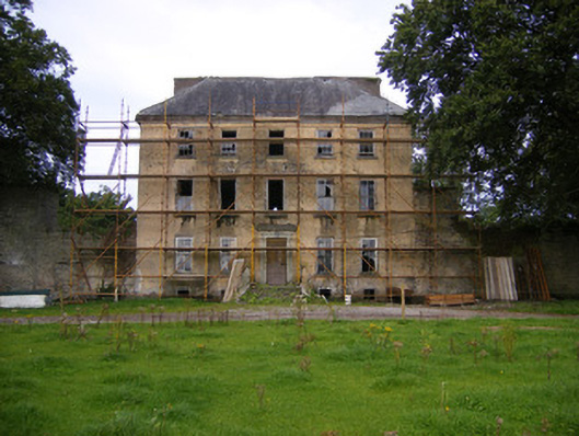 Riddlestown Parkcountry house · 726 yd
 Kilcool Bridgebridge · 916 yd
 Field system in CloghanaroldField system · 1061 yd
 IndicatedFairy fort / earthen ringfort · 1239 yd
 Bawn in Lisnacullia (connello Lower By.)Bawn · 1524 yd
 TobernablahySpring · 1.2 mi
 Bawn in StonevilleBawn · 1.2 mi
 St. Kieran's WellSpring · 1.7 mi
 European ashEuropean ash · 3.5 mi
 Flat cemetery in CroaghFlat cemetery · 4.2 mi
 Askeaton CastleHeritage attraction · 4.6 mi
 Little HeavenHeritage attraction · 6.0 mi