What is recorded here
Mound in Rmeen stands sixty metres wide immediately south of a Kilkenny road, wearing grass like a forgotten giant. Whether nature built it or hands stacked soil for the dead, the southeast quadrant still bears small quarry scars. Cows graze beside the wound, indifferent to the question beneath their hooves.
Immediately S of a public road running roughly NE-SW, in pasture. A large roughly circular grass-covered mound (diam. c. 60m) identified on an aerial photograph (GSI S479, 1973-7) with some small quarrying into the SE quadrant. Though this may be a natural mound it possible that it was used as a burial mound.
Compiled by: Jean Farrelly
Date of upload: 9 July 2020
Neolithic passage tomb; dates to the 4th–3rd millennium BCE. Its size and location suggest it was a significant communal burial and ceremonial site in the prehistoric landscape.
The monument record does not grant public access. Check the route and ask the landowner before entering private land.
- What survives
- Recorded monument
Places near here
 Enclosure in Gaulstown UpperEnclosure · 427 yd
 HachuedFairy fort / earthen ringfort · 1228 yd
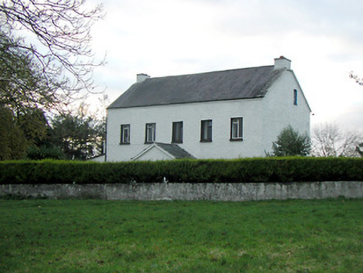 Mountgale Housefarm house · 1452 yd
 Gaulstown CastleCastle, unclassified · 1452 yd
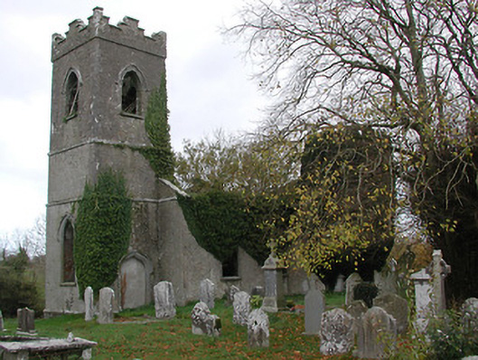 Ballinamara Churchchurch/chapel · 1.4 mi
 Site of CastleCastle, unclassified · 1.6 mi
 Brown's WoodWood · 3.5 mi
 The CopseWood · 3.6 mi
 Ballykeeffe Mass RockNamed rock · 3.7 mi
 Freshford LoopWalking route · 4.0 mi
 Ballykeefe QuarryCliff · 4.1 mi
 Ballykeefe AmphitheatreHeritage attraction · 4.2 mi