
What is recorded here
Indicated is a fairy fort in County Cavan, Ireland, where a broken earthen bank and faded causeway at the southeast edge suggest the entrance used by people long before the field boundary swallowed the rest. The circular space measures thirty-seven metres across, large enough for a household, a herdsman or a child running barefoot in rain, yet it keeps the shape of a fort because that is what it was before becoming a border. The land has not forgotten the line; it has only stopped answering it the human way.
Marked 'Fort' on OS 1836 and 1876 eds. Raised circular area (int. diam. 37.3m) enclosed by an earthen bank and a fosse, both of which have been modified and incorporated into the field boundary from SSW-W-NNW. From NNW-N a field boundary runs immediately outside of the site. Here the fosse has been levelled in and the bank is slight. Break in bank at SE with remains of accompanying causeway may represent original entrance.
The above description is derived from the published 'Archaeological Inventory of County Cavan' (Dublin: Stationery Office, 1995). In certain instances the entries have been revised and updated in the light of recent research.
Date of upload/revision: 22 December 2008
The monument record does not grant public access. Check the route and ask the landowner before entering private land.
- What survives
- Recorded monument
Places near here
 Aghalackan WestMountain / peak · 1094 yd
 The PlowMonument · 1307 yd
 RathcorickArchaeological place · 1413 yd
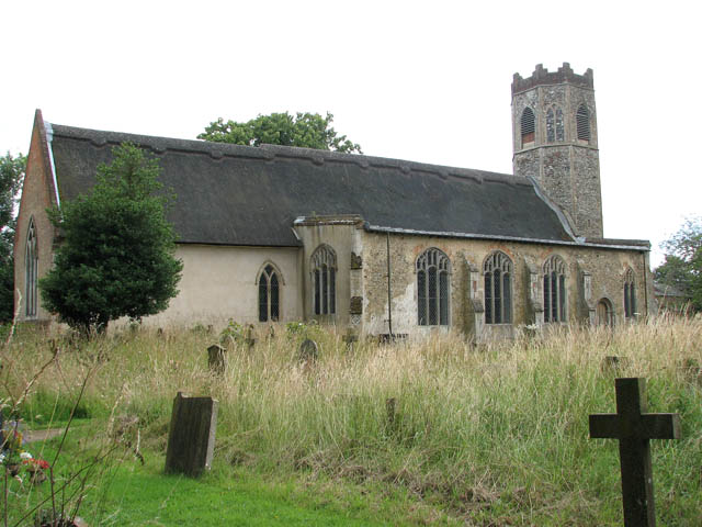 Old ChurchChurch · 1683 yd
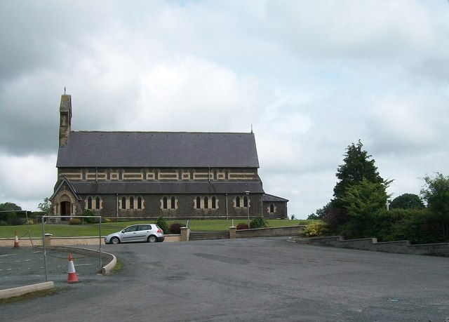 St Brigid's Roman Catholic Churchchurch/chapel · 1.0 mi
 Bawn in MoynehallBawn · 1.2 mi
 Aghalackan EastMountain / peak · 1.2 mi
 CastleCastle, unclassified · 1.6 mi
 GrottoWood · 1.8 mi
 Owen Roe O'Neill graveMemorial · 1.8 mi
 Carricknagore RockNamed rock · 1.9 mi
 Corgarran ForestForest · 2.8 mi
Other information
Photo: Credit not shown in the picture search · Rights wording not checked; contact us if this picture should be removed