What is recorded here
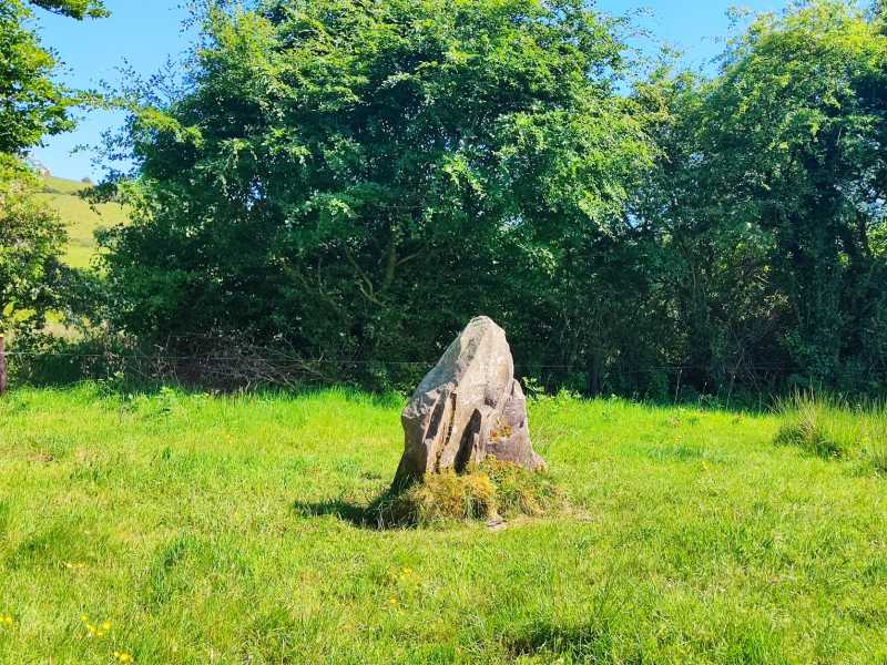
Wedge tomb in Reardnogy More is a wedge tomb in Reardnogy More, County Tipperary, Ireland. It stood close to the foot of the southern slope of Barnarhu Hill until its removal in 1956. The gallery measured approximately 2.7 metres long and 1 metre wide, with two stones set end to end on each side and three additional stones forming an outer wall on the south side.
This monument, removed in 1956, stood close to the foot of the southern slope of Barnarhu Hill. A plan of the tomb (Crawford 1910, 44, 'Baurnadomeeny West') shows the remains of a gallery, open at both ends, aligned W-E, measuring approximately 2.7m long and 1m wide. Each side of the gallery consisted of two stones set end to end. An outer-wall or doubling of the gallery side consisting of three stones was present on the S side and there was a single stone outside the most westerly sidestone on the N side. (De Valera and Ó Nualláin 1982, 83-4, No.5)
The above description is derived from 'The Archaeological Inventory of County Tipperary. Vol. 1 - North Tipperary' compiled by Jean Farrelly and Caimin O'Brien (Dublin: Stationery Office, 2002). In certain instances the entries have been revised and updated in the light of recent research.
Date of upload: 22 September 2008
See linked document with details from Ruaidhrí de Valera and Seán Ó Nualláin, Survey of the Megalithic Tombs of Ireland. Volume IV. Counties Cork, Kerry, Limerick, Tipperary. (Dublin: Stationery Office, 1982)
Wedge tomb, dating to the Late Neolithic or Early Bronze Age (c. 2500–1000 BC). Its alignment and gallery structure are characteristic of wedge tombs found in the Irish Céide Fields region, reflecting early communal burial practices.
The monument record does not grant public access. Check the route and ask the landowner before entering private land.
- What survives
- Recorded monument
Places near here
 Catholic Church of Our Lady of Visitationchurch/chapel · 424 yd
 Rear National Schoolschool · 462 yd
 Dermot & Granias Bed (Site of)Megalithic structure · 1.1 mi
 Cullaun 1523 ODBarrow, ring-barrow · 1.6 mi
 Slieve Felim East TopMountain / peak · 2.1 mi
 MauherslieveMountain / peak · 2.7 mi
 Slieve Felim WayWalking route · 4.0 mi
 Ballyhourigan WoodsForest · 4.8 mi
 Castle WellerCastle · 5.1 mi
 Tower (in Ruins)Bawn · 5.1 mi
 Sliev Felim WayVisitor information · 7.1 mi
 Graveyard in AbingtonGraveyard · 8.4 mi