What is recorded here
Situated on a slight S-facing slope with a small wet area just to the SE. Archaeological monitoring (15E0125) by S. McGlade in Phase 1 of the archaeological mitigation connected with a housing development identified a number of pits in a confined area (excavations.ie 2018: 032). These are the remnants of a fulacht fia and all the features were excavated under the original licence by the same archaeologist as the W fulacht fia. A circular steep-sided and flat-bottomed trough (diam. 1.3m; max. D 0.33m) had three fills of silty clays with charcoal and burnt stone inclusions. It forms a line (L c. 10m WNW-ESE) with three other pits, some of which might also have served as troughs. Some small pieces of chert and flint were recovered from the pits. Two small spreads of broken and burnt stone (dims 2.46m x 1.95m; max. T 0.13m: dims 1.6m x 0.43m; T 0.03m) are all that remain of the mound. (McGlade 2020, vol. 1, 37-40)
Compiled by: Michael Moore
Date of upload: 9 December 2021
The monument record does not grant public access. Check the route and ask the landowner before entering private land.
- What survives
- Recorded monument
Places near here
 Enclosure in Roestown (ratoath By.)Enclosure · 350 yd
 EnclosureEnclosure, large enclosure · 356 yd
 Dunshaughlin Civic Officesoffice · 622 yd
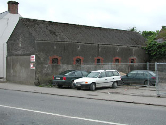 outbuildingoutbuilding · 973 yd
 Killeen CastleCastle, tower house · 2.2 mi
 Laurel WoodsWood · 3.1 mi
 Dunsany CastleCastle, unclassified · 3.1 mi
 Dunsany WoodWood · 3.2 mi
 Lismahon 1798 MemorialMonument · 3.6 mi
 Emerald ParkHeritage attraction · 4.4 mi
 Battle of Tara Hillbattle · 5.0 mi
 Battle of Tara (Ireland)Major battlefield · 5.0 mi