What is recorded here
South of the old Dunshaughlin road, narrow ditches still cut the sloping earth in a rigid grid. They are not modern boundaries but medieval drains, some deep as a child is tall, packed with clay and stones to force water from the soil. The fields stretch long beside the road and shorten further south, suggesting neighbours shared one practical system for growing food or keeping livestock. Their shape is not decorative; it is the remains of people who understood that land must be drained before it can be trusted.
Situated on a slight S-facing slope. A system of fields (dims c. 60-150m N-S; c. 40-50m E-W) defined by single ditches was encountered during archaeological monitoring (15E0125) by S. McGlade in Phase 1 of the archaeological mitigation connected with a housing development (excavations.ie 2018: 032). The drains extended S from the medieval roadway (ME038-051----) that is the precursor of the present Dunshaughlin - Drumree road. The drains (Wth 1.2-1.25m; D 0.0.36-75m to Wth 1.6m; D 0.65m) can be U or V-shaped and are filled with silty clays, often with a stone content added to facilitate drainage. Sometimes the ditches have been re-cut. The ditches were sampled at various points and the few artefacts recovered suggest that they date from the high medieval period. Collectively they form a pattern of rectangular fields laid out perpendicular to the road. Close to the road the fields are large (dims c. 150m N-S; c. 40-50m E-W) but further S the length could decrease (c. 60-70m). The mapped post-medieval field system is laid out along similar lines but these fields are thought to date to the twelfth to fourteenth century. (McGlade 2020, vol. 1, 51-61)
Compiled by: Michael Moore
Date of upload: 9 December 2021
The monument record does not grant public access. Check the route and ask the landowner before entering private land.
- What survives
- Recorded monument
Places near here
 Enclosure in Roestown (ratoath By.)Enclosure · 162 yd
 EnclosureEnclosure, large enclosure · 181 yd
 Dunshaughlin Civic Officesoffice · 691 yd
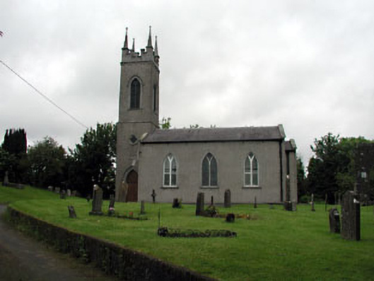 Saint Seachnall's Church (Dunshaughlin)church/chapel · 1041 yd
 Killeen CastleCastle, tower house · 2.1 mi
 Laurel WoodsWood · 3.0 mi
 Dunsany CastleCastle, unclassified · 3.1 mi
 Dunsany WoodWood · 3.2 mi
 Lismahon 1798 MemorialMonument · 3.7 mi
 Emerald ParkHeritage attraction · 4.4 mi
 Battle of Tara Hillbattle · 4.9 mi
 Battle of Tara (Ireland)Major battlefield · 4.9 mi