What is recorded here
Mullacreevan Hill still holds a curved earthen bank above an old quarry, local people call it a fort, and that practical belief matters more than any faded map label. The earthwork faces south on a shallow shoulder, wide enough to walk beside and tall enough to block the view, suggesting someone shaped the slope rather than merely observing it. Trees have since entered the gap between human intention and natural recovery, softening the edge but not erasing the choice made when the bank was first raised.
Located on a shoulder on the S-facing slope of Mullacreevan Hill. It is described as a ‘Mound’ in gothic lettering on the 1836 and 1908 editions of the OS 6-inch map, and it is known locally as a ‘Fort’. This is a grass-covered earthen bank (Wth c. 5m; ext. H 1.7m) planted with trees curving SW-N around an old quarry.
The above description is derived from the published 'Archaeological Inventory of County Meath' (Dublin: Stationery Office, 1987). In certain instances the entries have been revised and updated in the light of recent research.
Compiled by: Michael Moore
Date of revision: 5 September 2018
The monument record does not grant public access. Check the route and ask the landowner before entering private land.
- What survives
- Recorded monument
Places near here
 North Mullaghmore WoodWood · 539 yd
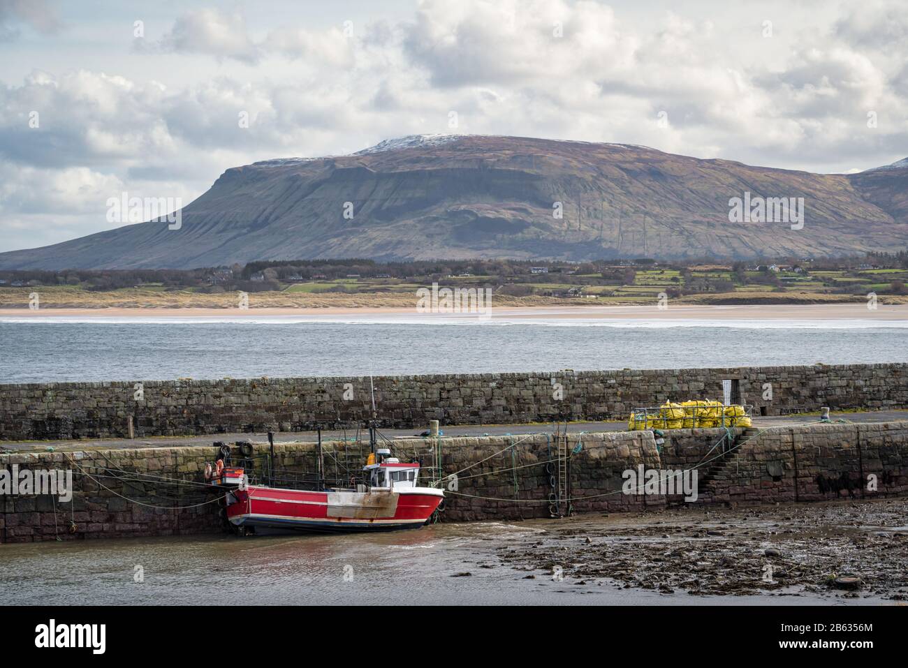 South Mullaghmore WoodWood · 670 yd
 Big RockPromontory fort, inland · 716 yd
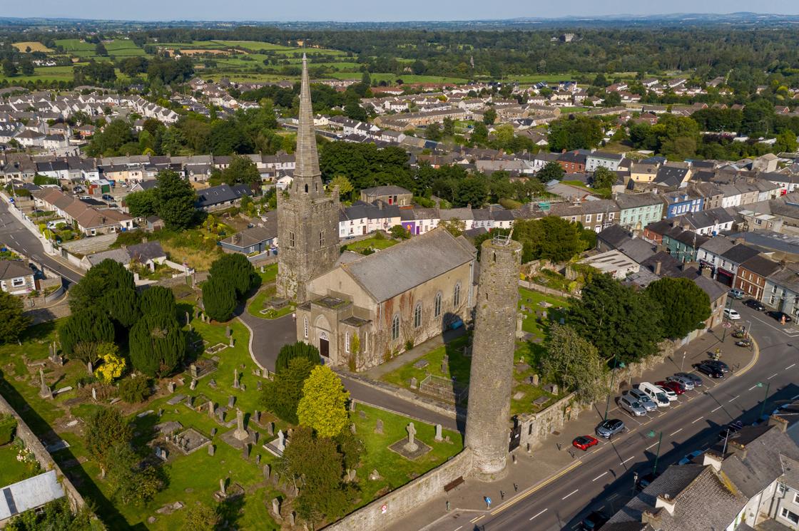 IndicatedFairy fort / earthen ringfort · 1150 yd
 Castle (in Ruins)Castle, unclassified · 1663 yd
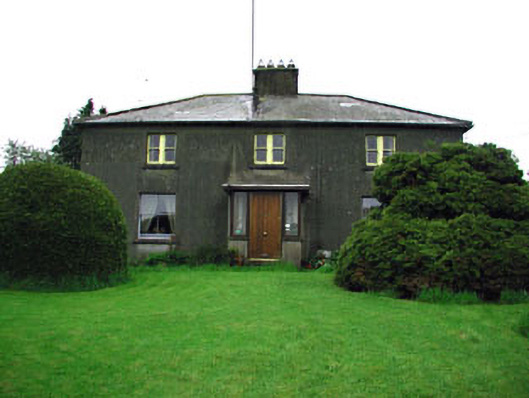 Woodlandsfarm house · 1757 yd
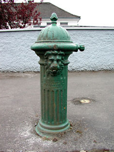 water pumpwater pump · 1.1 mi
 UghtyneillMountain / peak · 1.3 mi
 Moynalty Steam Threshing MuseumMuseum · 1.4 mi
 CastleCastle, motte · 1.6 mi
 Owenroe and Moynalty DrainageMemorial · 3.3 mi
 Sally IslandIslet · 3.4 mi