What is recorded here
Three concentric earthen rings still stand at the cliff’s edge in Rathosheen, the innermost circle wide enough to hold a hall and the outer rings rising like the walls of a forgotten city. Local people called it Rath Oisin, believing Ossian himself once lived there, and the divided platforms inside suggest rooms or yards rather than an empty field. The fort sits where the land drops away to north and west, so anyone entering from the causeway at southwest walked into a place set apart from the ordinary ridge. Trees and scrub have since crowded the banks, but the shape remains clear: a large oval palace of earth, built to be seen from a distance and remembered long after its builders disappeared.
At the end of a bluff on a N-S ridge with a steep drop off to the N and W. On the 1st (1839) and 1900 eds OS 6-inch map this monument is depicted as a large oval enclosure (dims. 80m N-S; 72m E-W). It is described in some detail in the OS Letters (1839) as, 'an ancient rath in the Townland of Rath Oisin (Ossian) which the people there believe to have been the palace of that celebrated Chief. It has three concentric mounds; the inner circle forty four yards [c. 40m] diameter; the area broken into several uneven and unequal compartments resembling the sites of oblong buildings, rounded at the angles like those at Glencullen in the Co. of Dublin. The first or outer rampart varies from the level of the field or rather hillock to five feet [1.5m] in height; the second, at about ten feet [3m] distance, is from twelve [3.6m] to fourteen feet [4.2m] high, excepting at the entrances, east and west. The third or inner stands twenty one feet [6.4m] from the latter, varying to seven feet [2.1m] in height' (O'Flanagan 1930, vol. 1, 117-18 (40)). This description is accompanied by a sketch plan (ibid.). The following field inspection in 1987 gives a similar description of the interior, but makes no mention of multi-vallations. Described by a field report as an oval area (int. dims. c. 35m N-S c. 26m E-W) enclosed by a single large earthen bank (Wth 4m; H 2-2.5m) with external fosse (Wth 4m; D 0.5m) at S-SW cutting the site off from the ridge. Entrance with causeway across fosse at SW. The interior is divided in two, E and W to form split-level by scarping and is further divided by low banks (Wth 1m; H 0.3m) to form platforms. There is a possible house site (KK008-041001-) against the internal bank in the SW quadrant. The monument is quite overgrown with trees and scrub.
Compiled by: Jean Farrelly
Date of upload: 4 October 2017
The monument record does not grant public access. Check the route and ask the landowner before entering private land.
- What survives
- Recorded monument
Places near here
 Ladys WellHoly well · 949 yd
 Crucifixion plaque in BayswellCrucifixion plaque · 963 yd
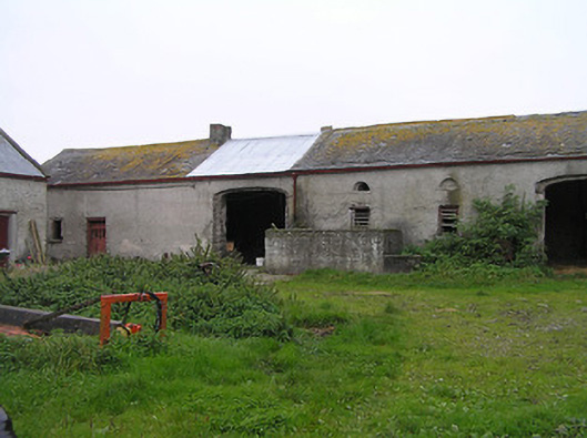 Bayswell Housefarmyard complex · 1013 yd
 Saint Michael's Catholic Churchchurch/chapel · 1198 yd
 IndicatedCastle, ringwork · 1449 yd
 Castle PierceHouse, fortified house · 1.3 mi
 Cnoc SeanrathaMemorial · 1.4 mi
 DelaneyMemorial · 3.0 mi
 Street fieldArchaeological place · 3.8 mi
 Tullow HillMountain / peak · 4.5 mi
 Clonmeen WoodWood · 4.8 mi
 Clomantagh HillMountain / peak · 4.9 mi