What is recorded here
In improved pasture, on a S-facing slope. Identified as a possible enclosure on an aerial photograph (GSI R.438/7, 16/04/1974). It is not visible at ground level. There is the subtle trace of a curvilinear channel from S-NW, but this is inconclusive due to uneven nature of ground across field. The field boundaries to E, S and W have been removed.
Compiled by: Jean Farrelly
Date of upload: 26 August 2011
The monument record does not grant public access. Check the route and ask the landowner before entering private land.
- What survives
- Recorded monument
Places near here
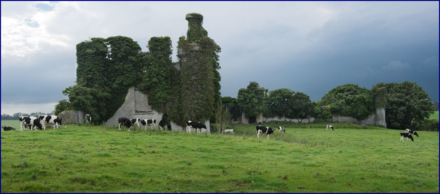 Enclosure in Rathneaveen (ormond)Enclosure · 379 yd
 LisnaboolaEnclosure · 931 yd
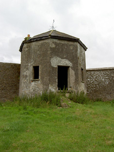 Kingswell Housesummerhouse · 1267 yd
 Soloheadbeg Ambush SiteMemorial · 1339 yd
 CastleCastle, unclassified · 1376 yd
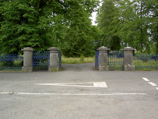 Greenane Housegates/railings/walls · 1.0 mi
 Old CastleRuins · 1.2 mi
 Soloheadbeg Ambushambush · 1.3 mi
 I.R.A. 3rd. Tipperary Brigade MemorialMemorial · 1.7 mi
 It's a long way to TippereryHeritage attraction · 1.9 mi
 European ashEuropean ash · 2.6 mi
 Bansha ForestForest · 4.3 mi