What is recorded here
No fairy, no fort. A man cut a ring in hillside soil, maybe a hundred generations before written memory. Cattle trample the mark now, but the line still holds: twenty-four metres across, scarped edge, trees grown thick on top. The south gap admits light and rain. Whatever lived inside stopped being obvious long before it stopped existing.
In undulating pasture, on gentle E-facing slope. Oval area (21.5m N-S; 24m E-W) defined by scarped edge (H 0.6m; Wth 1.4m). Scarp has mature trees growing along its top. It dips at S for c. 2.5m. Interior surface is uneven, and under pasture which is heavily poached by cattle.
Compiled by: Denis Power
Date of upload: 26 August 2011
The monument record does not grant public access. Check the route and ask the landowner before entering private land.
- What survives
- Recorded monument
Places near here
 Burial Gd.Graveyard · 873 yd
 Enclosure in Ballywilliam SouthEnclosure · 1183 yd
 Dromard Housecountry house · 1670 yd
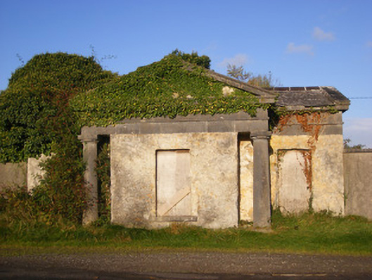 Ballywilliamgate lodge · 1.4 mi
 Bawn in Amogan MoreBawn · 1.8 mi
 Glebe CastleCastle · 2.1 mi
 European ashEuropean ash · 2.1 mi
 LaghtpatrickSpring · 2.6 mi
 Lady's WellSpring · 3.1 mi
 Flat cemetery in CroaghFlat cemetery · 3.4 mi
 Flat cemetery in Kiltenan SouthFlat cemetery · 3.7 mi
 KnockfeerinaMountain / peak · 4.6 mi