What is recorded here
Marianne never doubted the fort because marbles appeared in her palm at midnight. She returned marble by marble until the ring stopped asking her to remember.
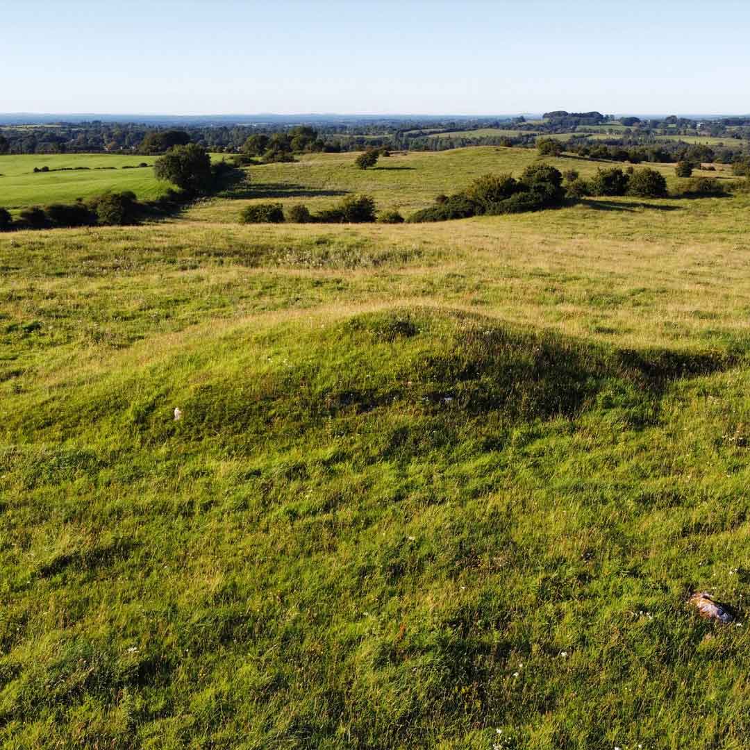
In tillage, atop ridge. Depicted as hachured circular enclosure (diam. c. 30m) on1842, 1905 and 1935 OS 6-inch maps. Levelled; circular enclosure visible as cropmark of bank and external fosse in aerial photograph (GSIAP, R523).
The above description is derived from the published 'Archaeological Inventory of County Cork. Volume 4: North Cork' (Dublin: Stationery Office, 2000). In certain instances the entries have been revised and updated in the light of recent research.
Date of upload/revision: 14 January 2009
A fairy fort or earthen ringfort in Rathnacarton is a circular early-medieval defensive or habitation site, likely dating to between the 5th and 10th centuries AD. It is associated with local folklore surrounding fairy activity, common in Irish tradition for such earthworks.
The monument record does not grant public access. Check the route and ask the landowner before entering private land.
- What survives
- Recorded monument
Places near here
 Fulacht fia in KillissaneFulacht fia · 232 yd
 Burnt mound in Kilquane (fermoy By.)Burnt mound · 472 yd
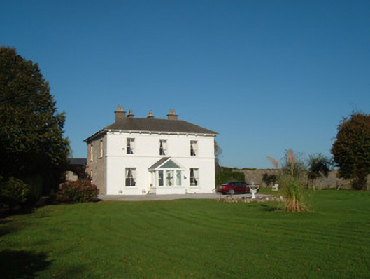 The Closecountry house · 1.1 mi
 Catholic Church of the Immaculate Conceptionchurch/chapel · 1.2 mi
 Monanimy CastleCastle, tower house · 1.5 mi
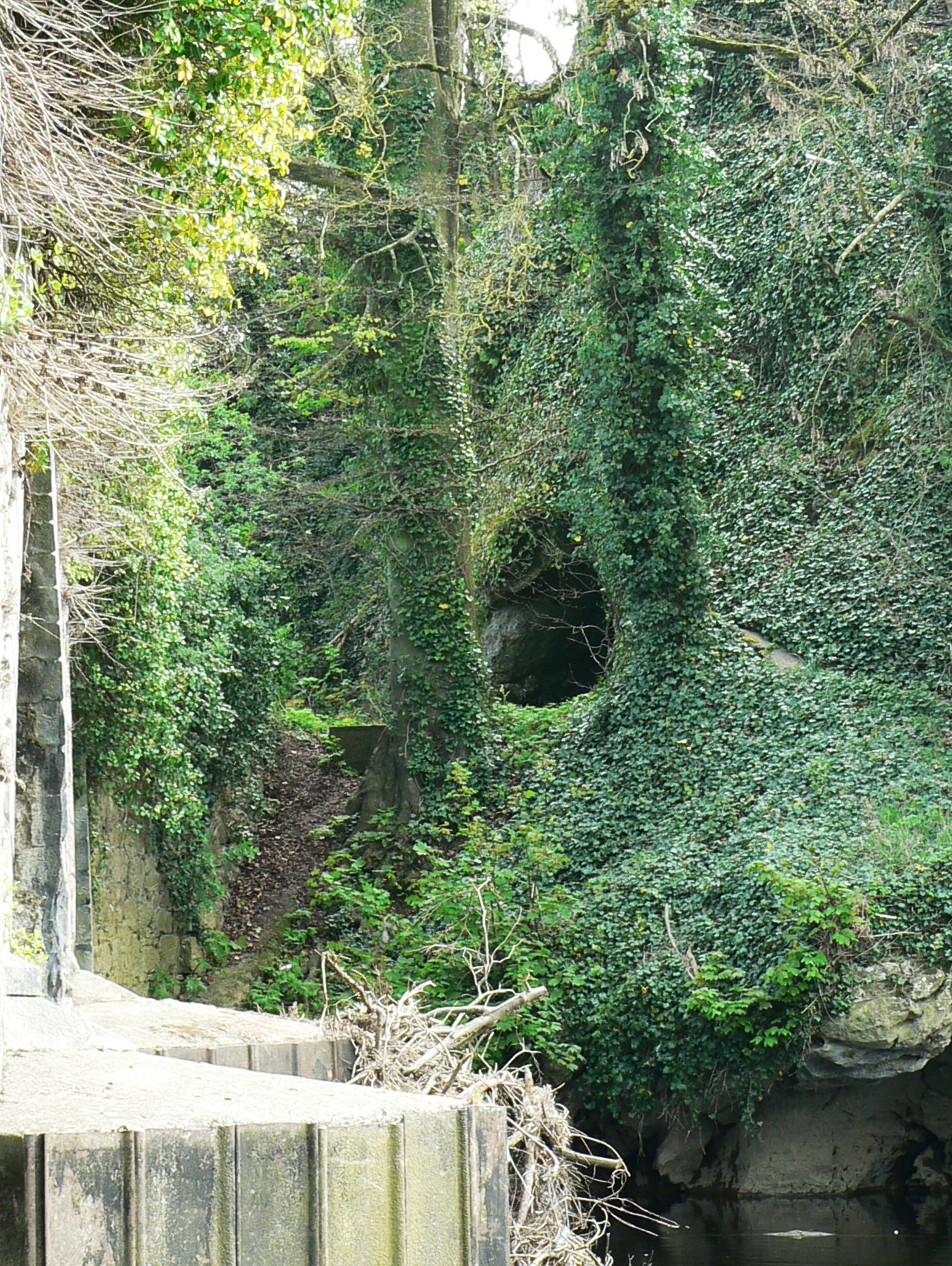 Killavullen CavesCave · 1.8 mi
 Cave in BallymacmoyCave · 1.8 mi
 Killavuleen LOOPVisitor information · 2.0 mi
 Anne's Grove GardensHeritage attraction · 2.1 mi
 Shanballymore Castle (Site of)Castle, unclassified · 2.9 mi
 Blackwater (Avondhu) WayWalking route · 3.9 mi
 Pedunculate OakPedunculate Oak · 4.2 mi