What is recorded here
Located on level, low-lying ground on the NE bank of a small NW-SE tributary of a SW-NE section of the old River Dee, c. 110m from its confluence with the river. The discovery of three rotary querns suggests that there may have been a water mill on the river shortly after it exited the original Moynagh Lough, which was much more extensive originally. It would have utilised the lake as a mill-pond, but there is no visible evidence of such a mill, and its location is not precisely known. The quernstones are kept at a nearby house.
Compiled by: Michael Moore
Date of upload: 17 August, 2017
The monument record does not grant public access. Check the route and ask the landowner before entering private land.
- What survives
- Recorded monument
Places near here
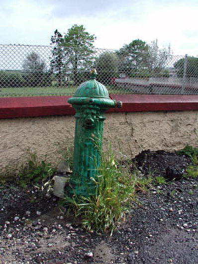 water pumpwater pump · 906 yd
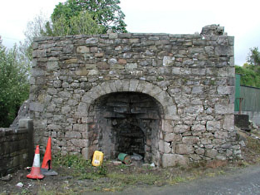 Bridge Farmkiln · 922 yd
 MoatCastle, motte and bailey · 948 yd
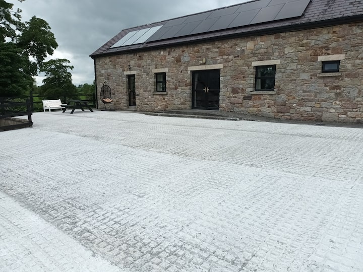 RathcarnFairy fort / earthen ringfort · 989 yd
 Gallows HillMountain / peak · 1069 yd
 Cross in NobberCross · 1103 yd
 Nobber GreenwayMemorial · 1146 yd
 Common LimeCommon Lime · 1.2 mi
 European YewEuropean Yew · 1.3 mi
 Ugly HillMountain / peak · 1.8 mi
 Loughbrackan FortCastle, motte and bailey · 2.8 mi
 Owenroe and Moynalty DrainageMemorial · 4.0 mi