What is recorded here
Fairy fort / earthen ringfort in Rathganny is a fairy fort or earthen ringfort in Rathganny, County Westmeath, Ireland. Situated on top of a prominent steep hill surrounded by gently undulating grassland, the site features a sub-circular area with an approximate diameter of 24 metres on a north-northwest to south-southeast axis. This area is enclosed by a substantial earth and stone bank that has several disturbance gaps, while a roughly circular raised area in the south quadrant may be the remains of a hut site. Other raised areas in the interior have been cut by cultivation ridges running north to south, and their function is unclear.
Situated on top of a prominent steep hill surrounded by gently undulating grassland, with good views of the surrounding hills. The road which marks the townland boundary with Ballindurrow is 160m to S. A sub-circular shaped area (approx. diam. 24m NNW-SSE) enclosed by a substantial earth and stone bank. The bank has several disturbance gaps. A roughly circular-shaped raised area is visible in the S quadrant and may be the remains of a hut site (WM011-030001-). There are other raised areas in the interior, but these have been cut by cultivation ridges running N-S, and their function is unclear. A circular raised area in the NE is also visible on Digital Globe aerial photograph taken November 2011. A field fence running N-S intersects the perimeter of the monument at E.
See attached profile of monument surveyed and drawn by the ASI.
Compiled by: Frank Coyne and Caimin O'Brien
Date of upload: 15 June 2017
The monument record does not grant public access. Check the route and ask the landowner before entering private land.
- What survives
- Recorded monument
Places near here
 CastleCastle, unclassified · 206 yd
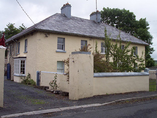 Old Parish Housepresbytery/parochial/curate's house · 291 yd
 ‘St. Andrew’s Chapel’Church · 622 yd
 ConventEcclesiastical site · 631 yd
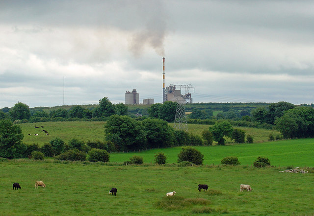 Partially indicatedCastle, motte · 728 yd
 Bridge Memorial (Kenna)Memorial · 763 yd
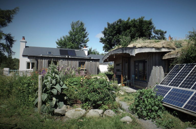 Enclosure in LackanEnclosure · 1.2 mi
 Scragh Bog Nature ReserveNature reserve · 3.3 mi
 Church IslandIsland · 3.9 mi
 Carrickphilbin IslandIslet · 3.9 mi
 Lady's IslandWood · 4.5 mi
 Seafin HillMountain / peak · 11 mi