
What is recorded here
Rathfran holds a broken circular enclosure on a ridge above steep southern slopes, near a field still called Fair Green. Its earth bank and inward scarp form most of a sixteen-metre circle, leaving a wide northern gap through which pasture, weather and memory can pass. The nearby grid of small fields cuts across the modern landscape, suggesting that people once shaped this place before today’s walls forgot the older line.
In pasture, on level ground on top of a ridge, with a steep fall of ground to S−SE. A large rectangular field, named ‘Fair Green’ on the 1838 and 1922 OS 6-inch maps, is located c. 140m to N.
This enclosure is not shown on the 1838 and 1922 OS 6-inch maps. It consists of a penannular area (diam. 16m) defined at N−E by an inward-facing scarp (H 0.7-0.8m) topped with a slightly raised external lip, and at ESE−W by a bank (Wth 1.2m; H 0.4-0.5m) of earth and stone. The bank has a flattened top, and relatively vertical sides. There is a broad break/gap (Wth 9m) in the bank is at NW. In the interior, at the base of the inward-facing scarp there is a very shallow depression/possible ditch (Wth c. 1m), which can be traced N−SE. The interior is level, and flush with exterior ground level at NW (in the area of the break in the bank), but on the NE arc the inward-facing scarp is cut into an area of raised exterior ground occupied by a second roughly circular enclosure (MA015-091002-), which lies immediately to E.
A low, grass-covered linear field bank lies 5m to N of the enclosure. It extends ENE−WSW for the almost the full width of the modern field. To N of this, and parallel to it, are fragmentary remains of a second bank, suggesting that the two banks flank the remains of a trackway (Wth 4.5-5m). A discrete, roughly trapezoidal grid of small rectilinear fields extend down the steep SE-facing slope of the ridge from the SE and S side of the enclosure, on an orientation at variance to the current pattern of large rectangular walled fields.
This enclosure, and the adjacent one (MA015-091002-), is of uncertain date and function. They both differ somewhat in morphology from ringforts in this area; they may be post-medieval in date.
Compiled by: Jane O'Shaughnessy
Date of upload: 11 December 2017
The monument record does not grant public access. Check the route and ask the landowner before entering private land.
- What survives
- Recorded monument
Places near here
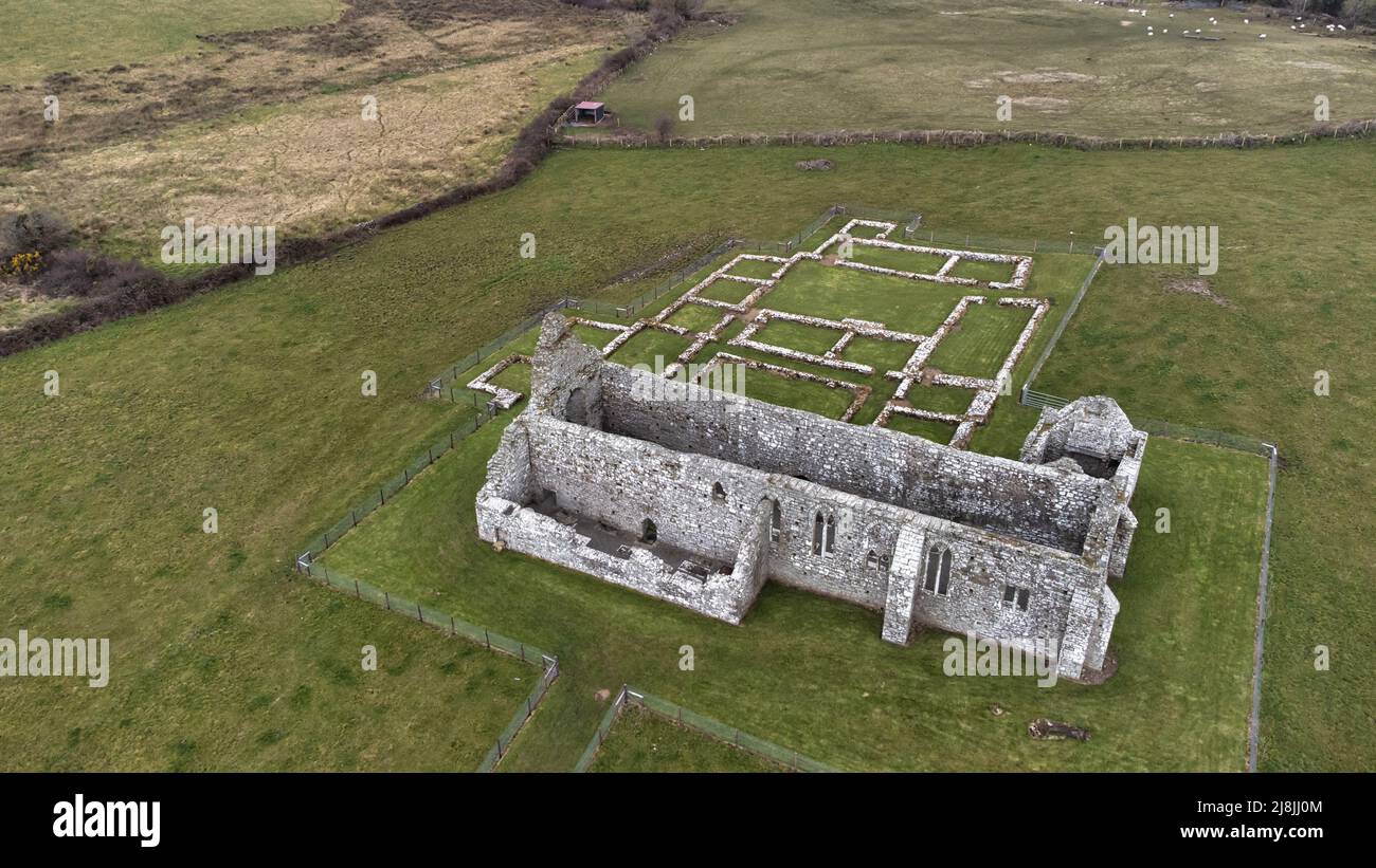 Enclosure in RathfranEnclosure · 225 yd
 Enclosure in SteelaunEnclosure · 397 yd
 Summerhill Housecountry house · 867 yd
 Rathfran Abbey in ruinsReligious house, Dominican friars · 1235 yd
 CastlenageehaCastle, unclassified · 1.0 mi
 TrabaunBeach / strand · 1.2 mi
 Rinnaun PointHeadland · 1.8 mi
 Castle (in Ruins)Castle, tower house · 2.1 mi
 Green IslandIslet · 2.2 mi
 French Landing 1798Memorial · 2.2 mi
 Battle of Killalabattle · 2.3 mi
 Battlefields of MoyneBattlefield · 3.3 mi
Other information
Photo: Credit not shown in the picture search · Rights wording not checked; contact us if this picture should be removed