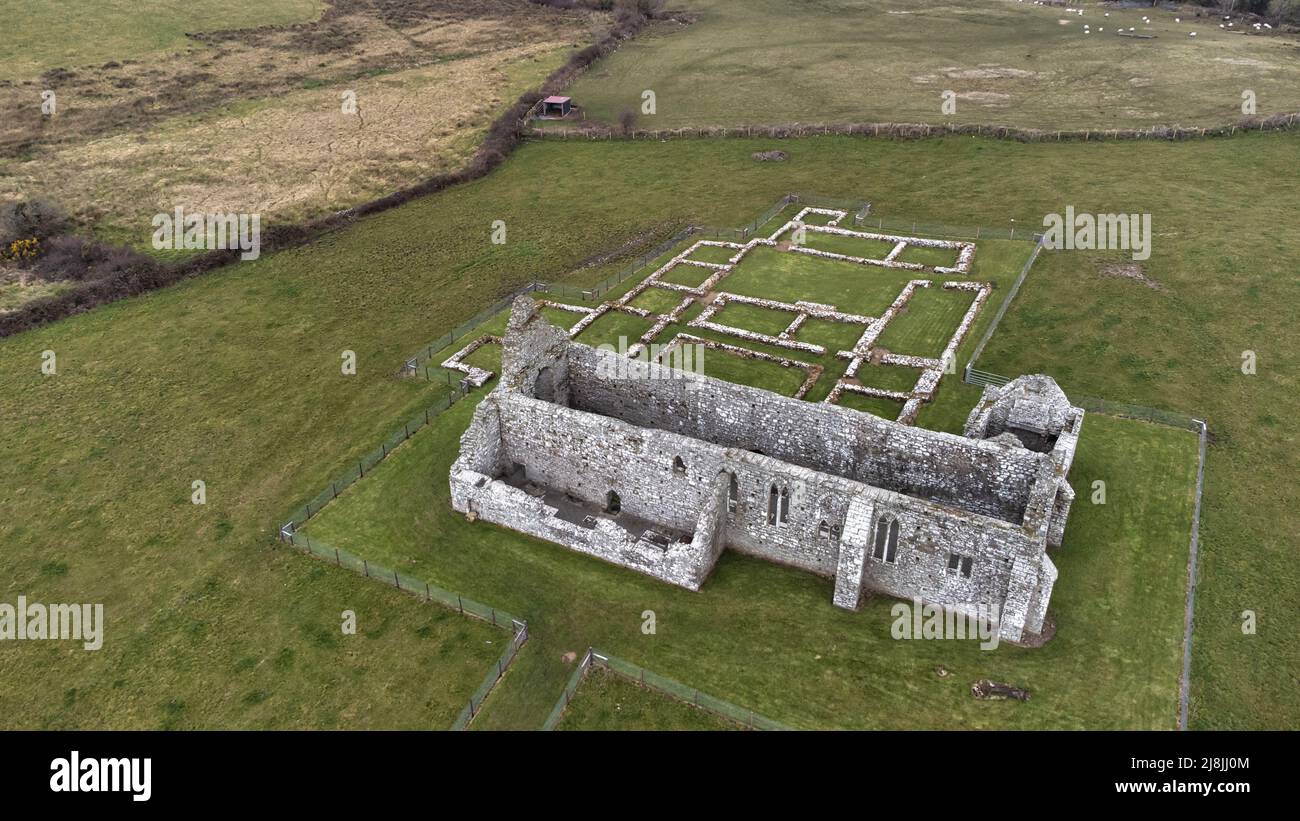
What is recorded here
Located on level ground in the N end of a modern rectangular pasture field, immediately E of a rath (MA015-026001-). The level ground is part of a natural terrace, at the top of SE-facing slope, overlooking mouth of Palmerstown River. Ground rises sharply to the NW. A road, on a roughly E-W axis, borders the N end of the field.
This possible enclosure is not indicated on OS 6-inch maps. An inspection in 1978 recorded it as a low bank/scarp, which extended to E and NE from the S side of the rath (MA015-026001-), defining the curving S side of a roughly D-shaped area (c. 35-40m NE−SW; c. 45m NW−SE), with the straight side at N formed by the modern road-side fence (SMR File: OPW Field Notes). An inspection in 2017 found that the curving scarp/bank is extant where it borders a low terrace on which a possible house (MA015-026003) is located, immediately to S of the rath, but it has been levelled where it extended through the field to E and NE of this. Though termed an ‘enclosure’ in the 1978 report, the bank/scarp may simply have been a field boundary. Its significance and date is uncertain –it appears to post-date the rath, but clearly differs in orientation to, and most likely predates, the current rectilinear grid of fields.
Compiled by: Jane O'Shaughnessy
Date of upload: 31 August 2017
The monument record does not grant public access. Check the route and ask the landowner before entering private land.
- What survives
- Recorded monument
Places near here
 Enclosure in SteelaunEnclosure · 301 yd
 Summerhill Housewalled garden · 904 yd
 Templemurry Grave YardGraveyard · 1131 yd
 Rathfran Abbey in ruinsReligious house, Dominican friars · 1303 yd
 CastlenageehaCastle, unclassified · 1.0 mi
 TrabaunBeach / strand · 1.2 mi
 Rinnaun PointHeadland · 1.7 mi
 Green IslandIslet · 2.1 mi
 Castle (in Ruins)Castle, tower house · 2.1 mi
 French Landing 1798Memorial · 2.2 mi
 Battle of Killalabattle · 2.2 mi
 Battlefields of MoyneBattlefield · 3.1 mi
Other information
Photo: Credit not shown in the picture search · Rights wording not checked; contact us if this picture should be removed