What is recorded here
Enclosure in Rathculbin is a 50m circular mark hidden beneath modern soil, possibly the ancient chapel Carrigan called the Rellig. It lies thirty metres from a ruined house and waits for rain or drought to reveal its edges again.
Located c. 160m WSW of the cross-roads of Rathculbin, on the N side of the Mallardstown-Newtown church road and c. 30m E of the farmyard which contains the remains of a ruined late 16th/early 17th-century house (KK027-025----). A circular enclosure (overall diam. c. 50m), identified as a cropmark on satellite imagery (OS Ortho, imagery date 2004-2006; DigitalGlobe, imagery date 2011-2013). It is possible that this is the 'rath' which Carrigan (1905, vol. 3, 324-5) describes as, ‘another rath in the townland [Rathculbin], in a large field at the cross-roads of Rathculbin, called Bawnarawha, or the Rath field. This rath is known to the old people as the “Rellig,” that is, the churchyard, and though its interior now presents no appearances of a churchyard, or of foundations of walls, there can be no question that it is the site of the ancient chapel of Rathculbin’. The 'rath' or burial ground described by Carrigan had previously been assigned the SMR no. (KK027-059002-) and, as it cannot be determined with certainty that these are the same monument, both records have been retained.
See attached:
KK027-090----_01 satellite imagery (OS Ortho, imagery date 2004-2006)
KK027-090----_02 satellite imagery (DigitalGlobe, imagery date 2011-2013)
Compiled by: Jean Farrelly
Date of upload: 6 April 2023
The monument record does not grant public access. Check the route and ask the landowner before entering private land.
- What survives
- Recorded monument
Places near here
 Castle (in ruins)House, 16th/17th century · 98 yd
 Enclosure in RathculbinEnclosure · 107 yd
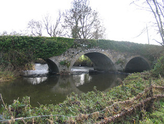 Newtown Bridgebridge · 465 yd
 Bawn in Newtown (baker)Bawn · 626 yd
 Grave YardGraveyard · 768 yd
 IndicatedBawn · 814 yd
 Lacken WellSpring · 1.8 mi
 BawnwilliamForest · 1.9 mi
 Sally OsiersForest · 2.0 mi
 Mill IslandIslet · 2.0 mi
 Famous Horses of KellsMemorial · 2.0 mi
 Kells Priory Mill MuseumMuseum · 2.1 mi